
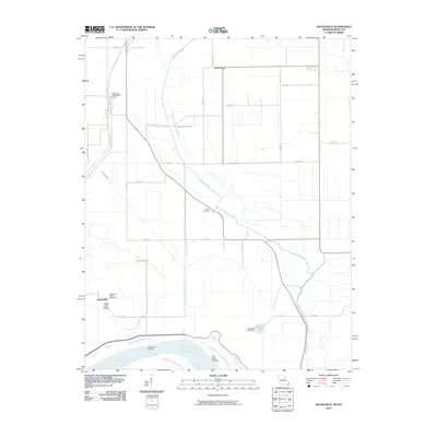
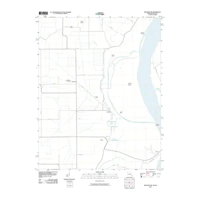
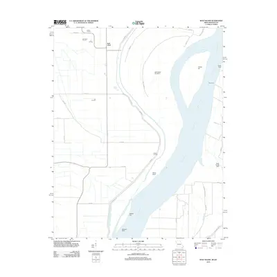
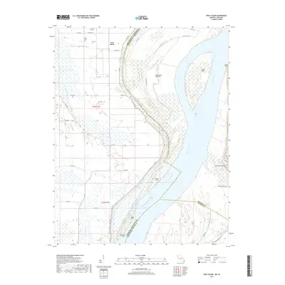
2021 Map of Wolf Island
USGS Topo · Published 2021About this map
The Mississippi River creates a complex, shifting landscape of islands and bars where the borders of Missouri and Kentucky meet. The settlement of Wolf Island sits on the western side of the river, anchored by a series of family and community burial grounds including Wolf Island Cem, Barnes Cem, and Ivie Cem. The topography is dominated by fluvial features such as Wolf Island Number 5 and the broad Middle Bar, illustrating the river's historical tendency to reshape the land and move state boundaries. To the east, the terrain rises sharply at Chalk Bluff and Three Ponds Bluff, overlooking the wetlands of Three Ponds. This modern survey records the persistent rural road network, including Levee Rd and River Rd, which navigate the low-lying bottoms near Beckwith Bend and Moore Island.
Find a feature on this map
42 named features on this map. Tap any name to fly to it.
Don’t see what you’re looking for? This feature index may not catch every label — zoom into the map to look around manually.
Map Details
Editions of this 2021 Wolf Island Map
This is the sole edition of this map. No revisions or reprints were ever made.
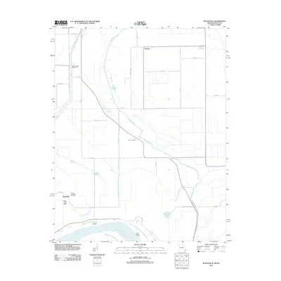
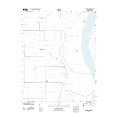
Historical Maps of Wolf Island Through Time
18 maps found
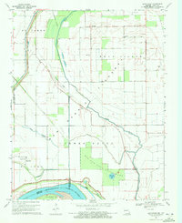
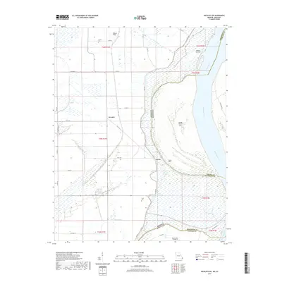
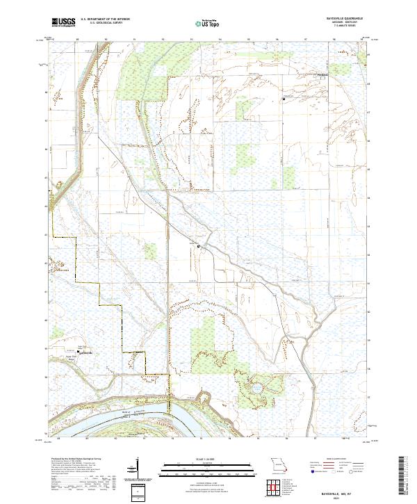
1969 Bayouville
Mississippi County, MO
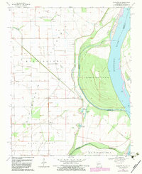
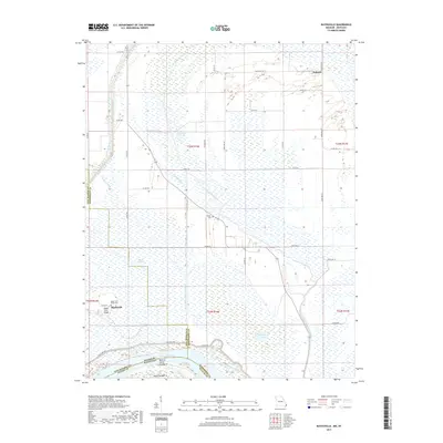
1969 Wickliffe SW
Mississippi County, MO
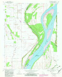
1969 Wolf Island
Mississippi County, MO
2010 Bayouville
Mississippi County, MO
2010 Wickliffe SW
Mississippi County, MO
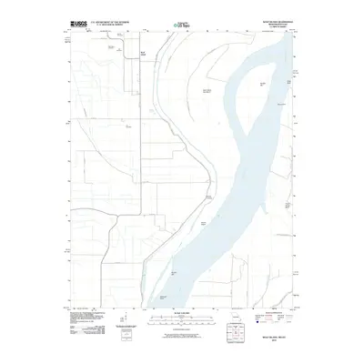
2010 Wolf Island
Mississippi County, MO
2012 Bayouville
Mississippi County, MO
2012 Wickliffe SW
Mississippi County, MO
2012 Wolf Island
Mississippi County, MO
2015 Bayouville
Mississippi County, MO
2015 Wickliffe SW
Mississippi County, MO
2015 Wolf Island
Mississippi County, MO
2017 Bayouville
Mississippi County, MO
2017 Wickliffe SW
Mississippi County, MO
2017 Wolf Island
Mississippi County, MO
2021 Bayouville
Mississippi County, MO

2021 Wickliffe SW
Mississippi County, MO
2021 Wolf Island
Mississippi County, MO