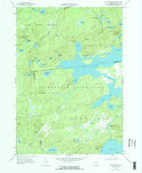
1968 Map of Wolf Mountain
USGS Topo · Published 1971About this map
State Forest Preserve lands within Adirondack State Park dominate this 1968 landscape, characterized by an intricate network of glacial ponds and wetlands. The central feature is Lows Lake, showing a spillway elevation of 1743 feet, which connects several smaller water bodies like Big Deer Pond and Tomar Pond. The remote character of the region is evident in the sparse infrastructure, consisting primarily of a Jeep Trail and the Penn Central railroad corridor cutting through the southeastern corner near the Robinwood settlement.
Find a feature on this map
62 named features on this map. Tap any name to fly to it.
Don’t see what you’re looking for? This feature index may not catch every label — zoom into the map to look around manually.
Map Details
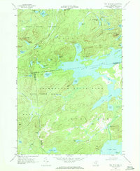
Editions of this 1968 Wolf Mountain Map
2 editions found
Other maps of this area
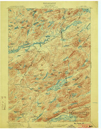
1903 · Big Moose
USGS Topo · 1:62,500
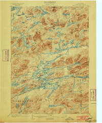
1903 · Raquette Lake
USGS Topo · 1:62,500
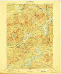
1907 · Tupper Lake
USGS Topo · 1:62,500
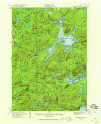
1919 · Cranberry Lake
USGS Topo · 1:62,500
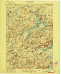
1921 · Cranberry Lake
USGS Topo · 1:62,500
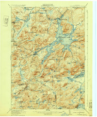
1931 · Cranberry Lake
USGS Topo · 1:62,500
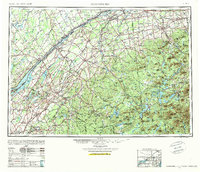
1948 · Ogdensburg
USGS Topo · 1:250,000
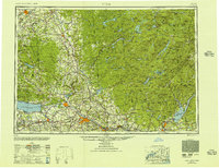
1950 · Utica
USGS Topo · 1:250,000
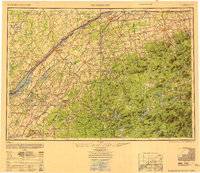
1951 · Ogdensburg
USGS Topo · 1:250,000
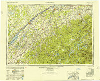
1953 · Ogdensburg
USGS Topo · 1:250,000