Old Maps of Clifton, New York
Explore 68 old maps of Clifton, spanning from 1915 to today. These high-resolution historic maps reveal how streets, neighborhoods, landmarks, and natural features evolved over time — perfect for genealogy, metal detecting, research, and local history exploration.
What you can do with these maps:
- See how Clifton changed over time: Compare historical maps to modern-day views to trace roads, homesites, rail lines & more.
- View detailed metadata: Each map includes creators, publishers, year, scale, and archive source.
- Overlay maps with satellite & LiDAR: Visualize the past alongside modern tools to explore terrain & human change.
- Trusted historical sources: Maps sourced from the USGS, Library of Congress, and other archives.
- Access maps your way: View online, download high-res files, or order prints for personal or research use.
Start exploring old maps of Clifton to uncover forgotten places, hidden landmarks, and the deep history beneath your feet.
Clifton, NY maps
(68)- 1915 Map of Russell, 1958 Print
 1915 Russell1958 Print · USGSSt. Lawrence County was a landscape of remote school districts and family-named crossroads when this survey was conducted during the First World War. Local historians can trace the foundations of the regional iron industry at the Clifton Furnace Ruins or locate vanished rural centers like Pond Settlement and Whippoorwill Corners.
 - 1916 Map of Oswegatchie
 1916 Oswegatchie1916 Print · USGSSt. Lawrence County industry and wilderness meet in the early twentieth century along the Oswegatchie River. Genealogists and historians can trace rail-tied settlements at Benson Mines, remote schools like White School, and numerous named lumber and sporting camps.3 unique versions available
 - 1918 Map of Russell
 1918 Russell1918 Print · USGSSt. Lawrence County during the First World War era reveals a landscape of isolated farmsteads and rural school districts connected by winding rivers. Researchers can locate long-forgotten sites like the Clifton Furnace Ruins, the Scotland School, and the remote Pond Settlement.5 unique versions available
 - 1918 Map of Oswegatchie
 1918 Oswegatchie1918 Print · USGSThe Adirondack wilderness in the 1910s reveals a hardworking landscape of iron mines and timber camps. Genealogists and historians can trace family roots at Benson Mines, locate remote schoolhouses like White School, and follow the path of the Lumber R. R.5 unique versions available
 - 1919 Map of Cranberry Lake, 1959 Print
 1919 Cranberry Lake1959 Print · USGSThe northern Adirondack wilderness is captured here just after the Great War, showing a landscape defined by timber, mining, and the winding Oswegatchie River. Trace the early development of Benson Mines, the State Ranger School, and the remote landing at Wanakena.3 unique versions available
 - 1921 Map of Cranberry Lake
 1921 Cranberry Lake1921 Print · USGSIn the early 1920s, this area of the Adirondacks was a nexus of wilderness and industry, from the waters of Cranberry Lake to the iron operations at Benson Mines. Researchers can trace the early grounds of the State Ranger School and follow the New York Central RR through Wanakena.7 unique versions available
 - 1921 Map of Stark, 1956 Print
 1921 Stark1956 Print · USGSSt. Lawrence County in the early twenties shows a landscape shaped by logging and the Adirondack wilderness. Researchers can trace the path of the Lumber RR, locate early rural sites like Glendale Mill and Cold Brook School, or find the secluded Stillwater Club.2 unique versions available
 - 1923 Map of Stark
 1923 Stark1923 Print · USGSSt. Lawrence County was a landscape of remote lumbering outposts and river-fed settlements in the early 1920s. Genealogists and historians can trace old homesteads at Sellecks Cors, follow the path of the Lumber RR, and locate the Irish Settlement.4 unique versions available
 - 1931 Map of Cranberry Lake
 1931 Cranberry Lake1931 Print · USGSThe Adirondack wilderness around Cranberry Lake is captured here in the early thirties, showcasing a landscape of logging, mining, and remote rail travel. Genealogists and historians can trace the industrial footprints of Benson Mines, the State Ranger School, and the New York Central line.
 - 1940 Map of Stark
 1940 Stark1940 Print · USGSSt. Lawrence County was a landscape of remote logging camps and private sporting clubs during the interwar years. Genealogists can locate family outposts like Sellecks Cors or trace the early rural education system at Littlejohn School and Cold Brook School.
 - 1948 Map of Ogdensburg, 1973 Print
 1948 Ogdensburg1973 Print · USGSThe international border along the St Lawrence River comes to life in the late 1940s, showing the vital rail and water connections between New York and Ontario. Researchers can trace the grounds of St Lawrence University, the massive Camp Drum military reservation, and the historic Rideau River and Canal.2 unique versions available
 - 1951 Map of Ogdensburg
 1951 Ogdensburg1951 Print · USGSThe St. Lawrence frontier and the North Country are captured here during the post-war era, from the river ports to the high Adirondacks. Genealogists and historians can trace the rail-and-river economy through Ogdensburg, the Rutland rail lines, and Potsdam.
 - 1953 Map of Ogdensburg
 1953 Ogdensburg1953 Print · USGSThe North Country and St. Lawrence Valley are shown here in the early fifties, just as the region’s rail-and-river economy remained in full swing. Genealogists and historians can trace family-named corners and rural hubs along the Rutland railroad or locate heritage sites near Ogdensburg, Potsdam, and the St Regis Indian Reservation.
 - 1961 Map of Ogdensburg
 1961 Ogdensburg1961 Print · USGSThe St. Lawrence valley and the Adirondack high country meet in this early sixties survey during a peak era for rail and river commerce. Genealogists and historians can trace the paths of the New York Central railroad through remote settlements like Wanakena, Conifer, and Piercefield.
 - 1966 Map of Oswegatchie, 1971 Print
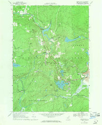 1966 Oswegatchie1971 Print · USGSSt. Lawrence County is captured here in the mid-1960s, showing a landscape defined by the Penn Central railroad and the Oswegatchie River. Researchers can locate industrial sites like Benson Mines and Flat Rock Powerplant alongside local landmarks like Woodland Cem.3 unique versions available
 - 1968 Map of Wolf Mountain, 1971 Print
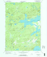 1968 Wolf Mountain1971 Print · USGSThe Adirondack wilderness in the late sixties is defined by a vast network of glacial ponds and state-managed timberlands. Researchers can trace the Penn Central rail line past Robinwood or locate the Partlow Milldam and Lookout Tower on Cat Mtn.2 unique versions available
 - 1968 Map of Cranberry Lake, 1971 Print
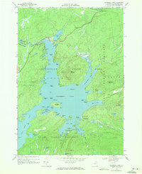 1968 Cranberry Lake1971 Print · USGSCranberry Lake and the surrounding Adirondack wilderness are captured here in the late sixties, showing the intricate shoreline and interior islands. Researchers can find remote landmarks like the Cranberry Lake Biological Station, Joe Indian Island, and the Cranberry Lake Cem.2 unique versions available
 - 1968 Map of Newton Falls, 1971 Print
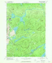 1968 Newton Falls1971 Print · USGSNewton Falls and Wanakena are pictured here in the late sixties, a period when Adirondack industrial mining operated alongside protected forest reserves. Researchers can trace the Penn Central rail line, find the local Cem, and locate the Strip Mine and Cook Corners settlement.2 unique versions available
 - 1969 Map of Tooley Pond, 1971 Print
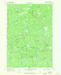 1969 Tooley Pond1971 Print · USGSSt. Lawrence County in the late sixties reveals a wild river landscape within the Adirondack State Park. Genealogists and historians can trace the remote settlement at Newbridge and remote landmarks like Canton Farm or the many waterfalls including Rainbow Falls.
 - 1969 Map of Degrasse, 1971 Print
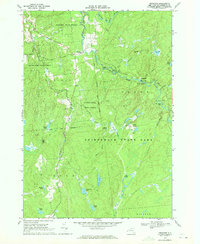 1969 Degrasse1971 Print · USGSThe northern Adirondacks in the late sixties reveal a landscape of active forestry and industrial memory. Trace the convergence of the South Branch Grass River and explore the historic Clifton Furnace Ruins and Pleasant View Cem.3 unique versions available
 - 1969 Map of Five Ponds, 1972 Print
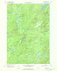 1969 Five Ponds1972 Print · USGSSt. Lawrence County is seen here in the late sixties as a sprawling wilderness within the Adirondacks before modern trail expansions. Researchers can locate remote landmarks like Janacks Landing, Griffin Rapids, and the clusters of Big Five Ponds.2 unique versions available
 - 1970 Map of Brother Ponds, 1972 Print
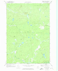 1970 Brother Ponds1972 Print · USGSSt. Lawrence County’s interior wilderness is documented in the 1970s before modern development altered these remote highlands. Researchers can trace historic trails through Adirondack State Park and locate secluded landmarks like Dismal Swamp and Wolf Ridge.
 - 1985 Map of Gouverneur
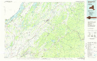 1985 Gouverneur1985 Print · USGSSt. Lawrence and Jefferson Counties are shown in the mid-eighties as a landscape of river-driven industry and expanding military grounds. Genealogists and historians can trace rail lines through Carthage, find local landmarks like Noble Hospital, and locate the boundaries of the Fort Drum Military Reservation.2 unique versions available
 - 1985 Map of Tupper Lake, 1986 Print
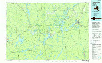 1985 Tupper Lake1986 Print · USGSThe Adirondacks in the mid-1980s reveal a network of mountain villages and timber-connected outposts. Researchers can trace the Adirondack RR through Saranac Lake or locate old industrial hamlets like Newton Falls and Gleasons Mill.2 unique versions available
 - 1999 Map of Wolf Mountain, 2001 Print
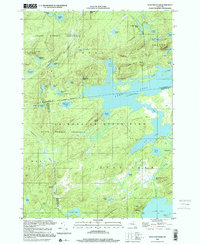 1999 Wolf Mountain2001 Print · USGSThe northern Adirondacks at the close of the twentieth century remain a vast wilderness of interconnected waterways and isolated peaks. Researchers can trace remote campsites and landings around Lows Lake, the historic site of Nehasane, and the Lookout Tower atop Cat Mountain.
Showing maps 1-25 of 68
Top cities near Clifton
- Oswegatchie historical maps
- Russell historical maps
- Watson historical maps
- Webb historical maps
- Colton historical maps
- Fine historical maps
See more
Top neighborhoods of Clifton
- Janacks Landing Shelter historical maps
- Cook Corners historical maps
- Newton Falls historical maps
- Cranberry Lake historical maps
Frequently asked questions
- What are the different types of historical maps available for Clifton?
- What is the oldest map of Clifton?
- Where can I purchase historical maps of Clifton for my home or office?
- Where can I download high-res historical maps of Clifton?
- Are there historical topographic maps available for Clifton?
- Is there historical aerial imagery available for Clifton?
- Where are historical maps of Clifton sourced from?