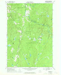
1969 Map of Degrasse
USGS Topo · Published 1971About this map
South Branch Grass River and Middle Branch Grass River converge in this northern Adirondack landscape, creating a network of rapids and falls including Basford Falls and Sinclair Falls. The settlement of Degrasse serves as a small hub near the Pleasant View Cem, while further south, the Clifton Furnace Ruins provide a physical link to the region's early industrial efforts near Orebed Ponds.
Find a feature on this map
54 named features on this map. Tap any name to fly to it.
Don’t see what you’re looking for? This feature index may not catch every label — zoom into the map to look around manually.
Map Details
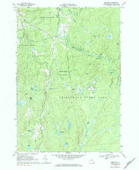
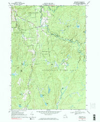
Editions of this 1969 Degrasse Map
3 editions found
Other maps of this area

1915 · Russell
USGS Topo · 1:62,500

1916 · Oswegatchie
USGS Topo · 1:62,500

1918 · Russell
USGS Topo · 1:62,500

1918 · Oswegatchie
USGS Topo · 1:62,500

1919 · Cranberry Lake
USGS Topo · 1:62,500

1921 · Cranberry Lake
USGS Topo · 1:62,500

1921 · Stark
USGS Topo · 1:62,500

1923 · Stark
USGS Topo · 1:62,500

1931 · Cranberry Lake
USGS Topo · 1:62,500

1940 · Stark
USGS Topo · 1:62,500