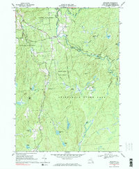
1969 Map of Degrasse
USGS Topo · Published 1984About this map
Degrasse serves as the primary hub of this 1960s survey, situated along the Middle Branch Grass River where the South Branch Grass River joins. The landscape is defined by its transition from managed state timberlands like Degrasse State Forest and Silver Hill State Forest into the northern reaches of the Adirondack State Park. This region's industrial past is etched into the terrain at the Clifton Furnace Ruins, located near Orebed Ponds, reflecting the 19th-century iron mining that once occurred in these woods. Along the water, numerous cataracts including Basford Falls, Sinclair Falls, and Twin Falls at Clarksboro illustrate the steep descent of the river system. Genealogists can locate the Pleasant View Cem north of the main settlement, while recreational history is noted at Camp Flat Rock near Flat Rock Falls.
Find a feature on this map
49 named features on this map. Tap any name to fly to it.
Don’t see what you’re looking for? This feature index may not catch every label — zoom into the map to look around manually.
Map Details
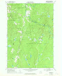
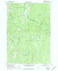
Editions of this 1969 Degrasse Map
3 editions found
Other maps of this area

1915 · Russell
USGS Topo · 1:62,500

1916 · Oswegatchie
USGS Topo · 1:62,500

1918 · Russell
USGS Topo · 1:62,500

1918 · Oswegatchie
USGS Topo · 1:62,500

1919 · Cranberry Lake
USGS Topo · 1:62,500

1921 · Cranberry Lake
USGS Topo · 1:62,500

1921 · Stark
USGS Topo · 1:62,500

1923 · Stark
USGS Topo · 1:62,500

1931 · Cranberry Lake
USGS Topo · 1:62,500

1940 · Stark
USGS Topo · 1:62,500