
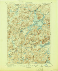
1921 Map of Cranberry Lake
USGS Topo · Published 1921About this map
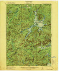
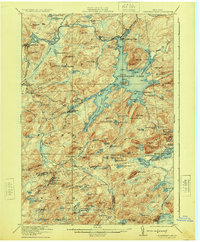
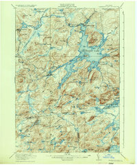
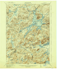
Cranberry Lake dominates this wilderness landscape, its irregular shoreline reaching into numerous flows and inlets like Brandy Brook Flow and Dead Creek Flow. In the early 1920s, the region was defined by a mix of forestry education and industrial extraction. The State Ranger School is established near Wanakena, while further west, the operations at Benson Mines and Newton Falls indicate the economic importance of the Adirondack mineral and timber resources. The New York Central RR provides the vital connection for these remote settlements, skirting the southern edges of the mountains.
Find a feature on this map
127 named features on this map. Tap any name to fly to it.
Don’t see what you’re looking for? This feature index may not catch every label — zoom into the map to look around manually.
Map Details
Editions of this 1921 Cranberry Lake Map
7 editions found
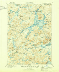
Other maps of this area

1903 · Big Moose
USGS Topo · 1:62,500

1903 · Raquette Lake
USGS Topo · 1:62,500

1907 · Tupper Lake
USGS Topo · 1:62,500

1912 · Number Four
USGS Topo · 1:62,500

1915 · Number Four
USGS Topo · 1:62,500

1915 · Russell
USGS Topo · 1:62,500

1916 · Oswegatchie
USGS Topo · 1:62,500

1918 · Russell
USGS Topo · 1:62,500

1918 · Oswegatchie
USGS Topo · 1:62,500

1919 · Cranberry Lake
USGS Topo · 1:62,500