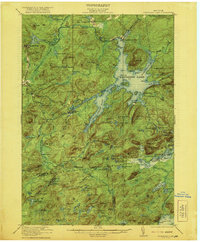
1921 Map of Cranberry Lake
USGS Topo · Published 1921About this map
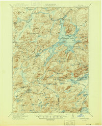
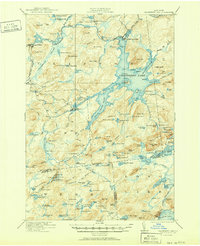
Cranberry Lake and its intricate network of inlets and flows anchor this rugged section of the Adirondack wilderness during the early twentieth century. The Oswegatchie River winds through the western terrain, passing the industrial outposts of Newton Falls and the significant workings at Benson Mines. This period of land use is characterized by the intersection of early conservation and extraction, exemplified by the State Ranger School near Wanakena. The map reveals an era when water levels were managed via the Dead Creek Flow and the Brandy Brook Flow, creating a landscape of flooded timber and complex shorelines. Remote camps and landmarks like Joe Indian Island and Barber Point suggest a growing recreational interest in the lake, while the New York Central railroad provides a vital lifeline to the isolated timber and mining settlements of Clifton and Fine.
Find a feature on this map
122 named features on this map. Tap any name to fly to it.
Don’t see what you’re looking for? This feature index may not catch every label — zoom into the map to look around manually.
Map Details
Editions of this 1921 Cranberry Lake Map
7 editions found

Other maps of this area

1903 · Big Moose
USGS Topo · 1:62,500

1903 · Raquette Lake
USGS Topo · 1:62,500

1907 · Tupper Lake
USGS Topo · 1:62,500

1912 · Number Four
USGS Topo · 1:62,500

1915 · Number Four
USGS Topo · 1:62,500

1915 · Russell
USGS Topo · 1:62,500

1916 · Oswegatchie
USGS Topo · 1:62,500

1918 · Russell
USGS Topo · 1:62,500

1918 · Oswegatchie
USGS Topo · 1:62,500

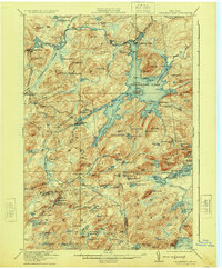
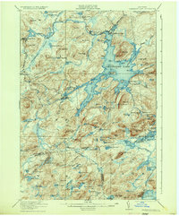
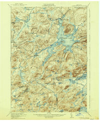
1919 · Cranberry Lake
USGS Topo · 1:62,500