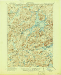
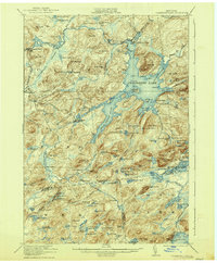
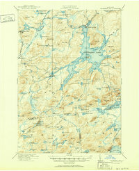
1921 Map of Cranberry Lake
USGS Topo · Published 1945About this map
Cranberry Lake and its intricate network of inlets and flows dominate this wilderness study within the Adirondack State Park. Industrial activity at Benson Mines and Newton Falls contrasts with the remote character of the interior, where the New York Central railroad provides the primary connection between isolated settlements like Wanakena and Robinwood. The presence of the State Ranger School near Esker Pond reflects the region's importance for forest management during this era.
Find a feature on this map
148 named features on this map. Tap any name to fly to it.
Don’t see what you’re looking for? This feature index may not catch every label — zoom into the map to look around manually.
Map Details
Editions of this 1921 Cranberry Lake Map
7 editions found

Other maps of this area

1903 · Big Moose
USGS Topo · 1:62,500

1903 · Raquette Lake
USGS Topo · 1:62,500

1907 · Tupper Lake
USGS Topo · 1:62,500

1912 · Number Four
USGS Topo · 1:62,500

1915 · Number Four
USGS Topo · 1:62,500

1915 · Russell
USGS Topo · 1:62,500

1916 · Oswegatchie
USGS Topo · 1:62,500

1918 · Russell
USGS Topo · 1:62,500

1918 · Oswegatchie
USGS Topo · 1:62,500

1919 · Cranberry Lake
USGS Topo · 1:62,500