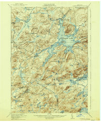
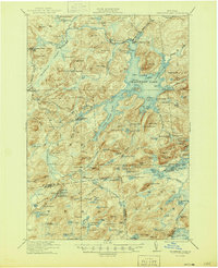
1921 Map of Cranberry Lake
USGS Topo · Published 1937About this map
Wanakena and the industrial outposts of Benson Mines anchor this survey of the western Adirondacks, where the New York Central railroad cuts through the heavy timber and high peaks of the Clifton and Fine townships. The landscape is defined by the complex waters of the Oswegatchie River, which feeds the sprawling Cranberry Lake and its many interconnected basins like the Dead Creek Flow.
Find a feature on this map
138 named features on this map. Tap any name to fly to it.
Don’t see what you’re looking for? This feature index may not catch every label — zoom into the map to look around manually.
Map Details
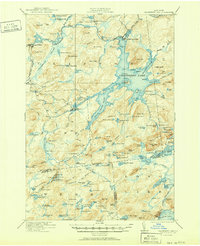
Editions of this 1921 Cranberry Lake Map
7 editions found

Other maps of this area

1903 · Big Moose
USGS Topo · 1:62,500

1903 · Raquette Lake
USGS Topo · 1:62,500

1907 · Tupper Lake
USGS Topo · 1:62,500

1912 · Number Four
USGS Topo · 1:62,500

1915 · Number Four
USGS Topo · 1:62,500

1915 · Russell
USGS Topo · 1:62,500

1916 · Oswegatchie
USGS Topo · 1:62,500

1918 · Russell
USGS Topo · 1:62,500

1918 · Oswegatchie
USGS Topo · 1:62,500

1919 · Cranberry Lake
USGS Topo · 1:62,500