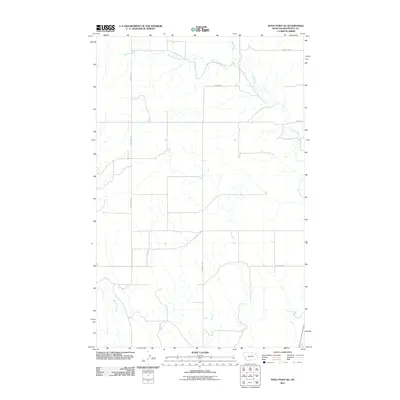
2011 Map of Wolf Point NE
USGS Topo · Published 2011About this map
West Fork Tule Creek and Tule Creek dominate this prairie landscape of the Wolf Point District, carving a network of drainage basins across the high plains of Roosevelt County. The map reflects a rural economy defined by a sparse but regular grid of access roads, such as Benrud Rd and Windy Hill Rd, which serve the expansive agricultural lands north of the Missouri River. In the southwestern corner, Little Wolf Creek winds through the terrain, illustrating the hydrologic patterns that dictated the placement of local thoroughfares like Hillview Rd. This 2011 survey, based on 2009 imagery, captures the modern state of these traditional ranching lands, where topography is defined more by the gentle contours of the creeks than by dense human settlement.
Find a feature on this map
8 named features on this map. Tap any name to fly to it.
Don’t see what you’re looking for? This feature index may not catch every label — zoom into the map to look around manually.
Map Details
Editions of this 2011 Wolf Point NE Map
This is the sole edition of this map. No revisions or reprints were ever made.
Other maps of this area

1910 · Cuskers
USGS Topo · 1:62,500

1912 · Chelsea
USGS Topo · 1:62,500

1915 · Tule Valley
USGS Topo · 1:62,500

1915 · Cuskers
USGS Topo · 1:62,500

1916 · Wolf Point
USGS Topo · 1:62,500

1954 · Wolf Point
USGS Topo · 1:250,000

1958 · Wolf Point
USGS Topo · 1:250,000

1972 · Chelsea SW
USGS Topo · 1:24,000

1972 · Wolf Point
USGS Topo · 1:24,000

1972 · Macon
USGS Topo · 1:24,000