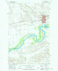
1972 Map of Wolf Point
USGS Topo · Published 1975About this map
The city of Wolf Point serves as a vital hub in northeastern Montana, situated where the Burlington Northern railroad meets the winding course of the Missouri River. This early 1970s survey captures the community’s infrastructure on the Fort Peck Indian Reservation Boundary, including the local Hosp, High Sch, and various civic landmarks such as the Community Hall. The geography is defined by the river's wide valley and the confluence of Wolf Creek and Littleman Creek to the north.
Find a feature on this map
28 named features on this map. Tap any name to fly to it.
Don’t see what you’re looking for? This feature index may not catch every label — zoom into the map to look around manually.
Map Details
Editions of this 1972 Wolf Point Map
This is the sole edition of this map. No revisions or reprints were ever made.
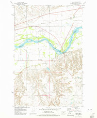
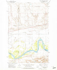
Other maps of this area

1915 · Oswego
USGS Topo · 1:62,500
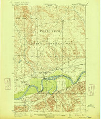
1916 · Wolf Point
USGS Topo · 1:62,500

1954 · Glendive
USGS Topo · 1:250,000

1954 · Wolf Point
USGS Topo · 1:250,000

1957 · Glendive
USGS Topo · 1:250,000

1958 · Wolf Point
USGS Topo · 1:250,000

1958 · Glendive
USGS Topo · 1:250,000

1972 · Flynn Creek North
USGS Topo · 1:24,000
1972 · Macon
USGS Topo · 1:24,000
1972 · Flynn Creek South
USGS Topo · 1:24,000
Featured Places
- Wolf Point District, MT
- Wolf Point, Wolf Point District
- Roosevelt County, MT
- McCone County, MT
- United States