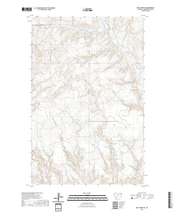
2024 Map of Wolf Point NE
USGS Topo · Published 2024About this map
Tule Valley defines the northeastern portion of this Roosevelt County landscape, where the seasonal drainage of West Fork Tule Creek and Tule Creek carve through the high plains of eastern Montana. This 2024 survey captures a rural ranching and agricultural region largely dictated by its natural topography. Local transport relies on a grid of section roads, including Windy Hill Rd and Benrud Rd, which connect the scattered homesteads and pastures characteristic of the Missouri River breaks environment. In the southwest, the terrain is marked by the winding path of Little Wolf Creek and the deep incision of Brown Coulee. These features represent the essential water sources and landmarks in a vast, open landscape where historical land use remains centered on the natural draws and coulees that provide shelter and moisture for livestock.
Find a feature on this map
26 named features on this map. Tap any name to fly to it.
Don’t see what you’re looking for? This feature index may not catch every label — zoom into the map to look around manually.
Map Details
Editions of this 2024 Wolf Point NE Map
This is the sole edition of this map. No revisions or reprints were ever made.
Other maps of this area

1910 · Cuskers
USGS Topo · 1:62,500

1912 · Chelsea
USGS Topo · 1:62,500

1915 · Tule Valley
USGS Topo · 1:62,500

1915 · Cuskers
USGS Topo · 1:62,500

1916 · Wolf Point
USGS Topo · 1:62,500

1954 · Wolf Point
USGS Topo · 1:250,000

1958 · Wolf Point
USGS Topo · 1:250,000

1972 · Chelsea SW
USGS Topo · 1:24,000

1972 · Wolf Point
USGS Topo · 1:24,000

1972 · Macon
USGS Topo · 1:24,000