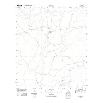
2010 Map of Wolf Ridge
USGS Topo · Published 2010About this map
The San Saba River and Colorado River converge in this central Texas landscape, creating a network of riparian crossings and named bluffs. In the early 21st century, these waterways remained central to the area's geography, with historical transit points like Red Bluff Crossing and Hicks Crossing marking where travelers met the river. The presence of Parks Mill on Rough Creek and the Harris Cemetery near Browns Branch suggests a history of small-scale industry and early settlement that persisted into the modern era.
Find a feature on this map
49 named features on this map. Tap any name to fly to it.
Don’t see what you’re looking for? This feature index may not catch every label — zoom into the map to look around manually.
Map Details
Editions of this 2010 Wolf Ridge Map
This is the sole edition of this map. No revisions or reprints were ever made.
Other maps of this area

1885 · San Saba
USGS Topo · 1:125,000

1887 · Lampasas
USGS Topo · 1:125,000

1894 · Lampasas
USGS Topo · 1:125,000

1894 · San Saba
USGS Topo · 1:125,000

1925 · San Saba 4-a
USGS Topo · 1:48,000

1925 · San Saba 1-c
USGS Topo · 1:48,000

1925 · San Saba 1-d
USGS Topo · 1:48,000

1928 · Goldthwaite
USGS Topo · 1:62,500

1931 · Bend
USGS Topo · 1:62,500

1948 · Goldthwaite
USGS Topo · 1:62,500