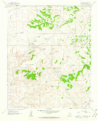
1961 Map of Wolf Stand
USGS Topo · Published 1963About this map
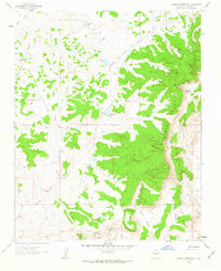
Black Mountain rises over a landscape defined by seasonal watercourses and essential water storage in this 1961 survey of Sandoval County. The area is anchored by the Torreon Navajo Mission and the small settlement at Wolf Stand, reflecting the importance of mission work and rural outpost life in the high desert. A critical network of water catchment systems, including Big Cornfield Tank, West Cornfield Tank, and Geronimo Tank, illustrates the resourcefulness required to sustain livestock and agriculture in this arid environment.
Find a feature on this map
35 named features on this map. Tap any name to fly to it.
Don’t see what you’re looking for? This feature index may not catch every label — zoom into the map to look around manually.
Map Details
Editions of this 1961 Wolf Stand Map
2 editions found
Other maps of this area

1883 · Mt. Taylor
USGS Topo · 1:250,000

1886 · Mt. Taylor
USGS Topo · 1:250,000

1892 · Mt. Taylor
USGS Topo · 1:250,000

1899 · Mt. Taylor
USGS Topo · 1:250,000

1958 · Albuquerque
USGS Topo · 1:250,000
1961 · Ojo Encino Mesa
USGS Topo · 1:24,000
1961 · Johnson Trading Post
USGS Topo · 1:24,000
1961 · Headcut Reservoir
USGS Topo · 1:24,000

1961 · Arroyo Empedrado
USGS Topo · 1:24,000
1961 · Mesa Portales
USGS Topo · 1:24,000