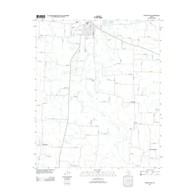
2013 Map of Wolfe City
USGS Topo · Published 2013About this map
Wolfe City anchors the northern portion of this 2013 survey, situated where the high ground transitions toward the numerous branches of the S Sulphur River. The town's grid is detailed with streets such as Austin St and S Greenville St, while local aviation is served by Henington Airport and Magee Airport. Small outlying communities like Aberfoyle and White Rock remain distinct nodes in the rural landscape, connected by farm-to-market roads like FM 512. The region's genealogy is preserved through numerous family and community burial grounds, including Wesley Church Cem and Onstot Cem. This network of small cemeteries and local waterways, including Turkey Cr and Middle Sulphur River, illustrates a persistent pattern of rural Texas settlement and agricultural land use in the early 21st century.
Find a feature on this map
100 named features on this map. Tap any name to fly to it.
Don’t see what you’re looking for? This feature index may not catch every label — zoom into the map to look around manually.
Map Details
Editions of this 2013 Wolfe City Map
This is the sole edition of this map. No revisions or reprints were ever made.
Other maps of this area

1953 · Texarkana
USGS Topo · 1:250,000

1954 · Sherman
USGS Topo · 1:250,000

1956 · Texarkana
USGS Topo · 1:250,000

1958 · Sherman
USGS Topo · 1:250,000

1962 · Greenville NW
USGS Topo · 1:24,000

1963 · Greenville NE
USGS Topo · 1:24,000

1964 · Commerce South
USGS Topo · 1:24,000

1964 · Commerce North
USGS Topo · 1:24,000

1964 · Celeste
USGS Topo · 1:24,000

1964 · Ladonia
USGS Topo · 1:24,000