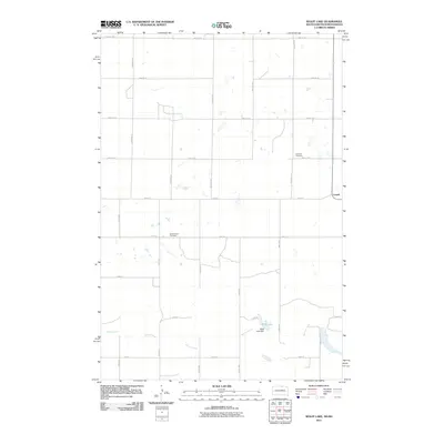
2011 Map of Wolff Lake
USGS Topo · Published 2011About this map
Spring Creek meanders across this rural landscape along the North Dakota and South Dakota border, feeding into Wolff Lake. The region is defined by a sparse settlement pattern typical of the Great Plains, with the small community of Lowell situated on the eastern edge of the quadrangle. Significant for genealogical research, the map identifies two distinct burial sites: the Lutheran Cemetery and the Johannestal Cemetery, reflecting the heritage of the local farming families. The infrastructure is characterized by a strict section-line grid of roads, including 101st St SE and 47th Ave SE, which facilitate travel between the scattered farmsteads. Near the southern waters, the Wolff Lake Dam indicates local water management efforts in this predominantly agricultural territory.
Find a feature on this map
26 named features on this map. Tap any name to fly to it.
Don’t see what you’re looking for? This feature index may not catch every label — zoom into the map to look around manually.
Map Details
Editions of this 2011 Wolff Lake Map
This is the sole edition of this map. No revisions or reprints were ever made.
Other maps of this area

1953 · Jamestown
USGS Topo · 1:250,000

1954 · Aberdeen
USGS Topo · 1:250,000

1956 · Aberdeen
USGS Topo · 1:250,000

1956 · Jamestown
USGS Topo · 1:250,000

1978 · Wolff Lake
USGS Topo · 1:24,000

1978 · Venturia
USGS Topo · 1:24,000

1978 · Eureka East
USGS Topo · 1:24,000

1978 · Schumacher Lake
USGS Topo · 1:24,000

1978 · Schumacher Lake SW
USGS Topo · 1:24,000

1978 · Schumacher Lake NE
USGS Topo · 1:24,000