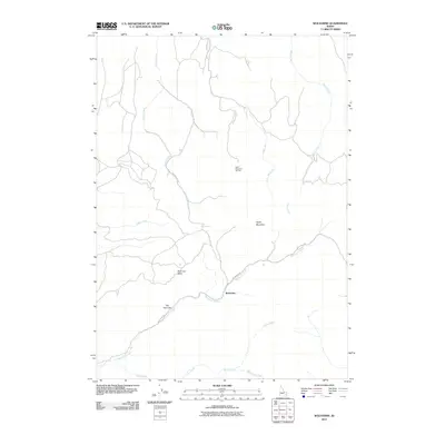
2011 Map of Wolverine
USGS Topo · Published 2011About this map
Wolverine sits at the heart of this Idaho mountain landscape, where the high-altitude terrain is defined by the drainage of Wolverine Creek and the towering presence of Taylor Mountain. This early 21st-century survey documents the area's transition into a recreation-focused geography, most notably with the Taylor Mountain Ski Area and the designated slopes surrounding it. The local road network, including Wolverine Rd and Taylor Mountain Rd, follows the natural contours of the land, providing access to remote features like Saw Log Basin and The Narrows. Numerous drainages such as Taylor Creek, Jones Creek, and Dry Fork carve through the foothills, illustrating the complex hydrology that feeds the region's watersheds. The map provides a precise view of the rural infrastructure and named topographical landmarks that have shaped this portion of Bingham County.
Find a feature on this map
15 named features on this map. Tap any name to fly to it.
Don’t see what you’re looking for? This feature index may not catch every label — zoom into the map to look around manually.
Map Details
Editions of this 2011 Wolverine Map
This is the sole edition of this map. No revisions or reprints were ever made.
Other maps of this area

1918 · Paradise Valley
USGS Topo · 1:62,500

1924 · Ammon
USGS Topo · 1:62,500

1948 · Idaho Falls South
USGS Topo · 1:24,000

1950 · Idaho Falls South
USGS Topo · 1:24,000

1950 · Goshen
USGS Topo · 1:24,000

1951 · Higham Peak
USGS Topo · 1:24,000

1952 · Goshen
USGS Topo · 1:24,000

1955 · Yandell Springs
USGS Topo · 1:62,500

1955 · Idaho Falls
USGS Topo · 1:250,000

1955 · Driggs
USGS Topo · 1:250,000