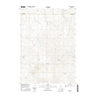
2017 Map of Wolverine
USGS Topo · Published 2017About this map
Wolverine marks a central point of activity within the Blackfoot Mountains of southeast Idaho, where the high desert meets the northern slopes of the range. The landscape is defined by its dramatic drainages, most notably Wolverine Canyon and the winding course of Wolverine Cr. To the west, the sharp descent of Rattlesnake Canyon and the high elevation of Taylor Mtn overlook a network of seasonal watercourses and ridges. Modern access is maintained through a few critical arteries like Wolverine Rd and Taylor Creek Rd, tracing routes that likely follow long-established paths through the terrain. Evidence of the region's geographical character is found in descriptive names such as The Narrows and Saw Log Basin, which suggest the historic land use and physical constraints encountered by early travelers and surveyors in Bingham County.
Find a feature on this map
26 named features on this map. Tap any name to fly to it.
Don’t see what you’re looking for? This feature index may not catch every label — zoom into the map to look around manually.
Map Details
Editions of this 2017 Wolverine Map
This is the sole edition of this map. No revisions or reprints were ever made.
Other maps of this area

1918 · Paradise Valley
USGS Topo · 1:62,500

1924 · Ammon
USGS Topo · 1:62,500

1948 · Idaho Falls South
USGS Topo · 1:24,000

1950 · Idaho Falls South
USGS Topo · 1:24,000

1950 · Goshen
USGS Topo · 1:24,000

1951 · Higham Peak
USGS Topo · 1:24,000

1952 · Goshen
USGS Topo · 1:24,000

1955 · Yandell Springs
USGS Topo · 1:62,500

1955 · Idaho Falls
USGS Topo · 1:250,000

1955 · Driggs
USGS Topo · 1:250,000