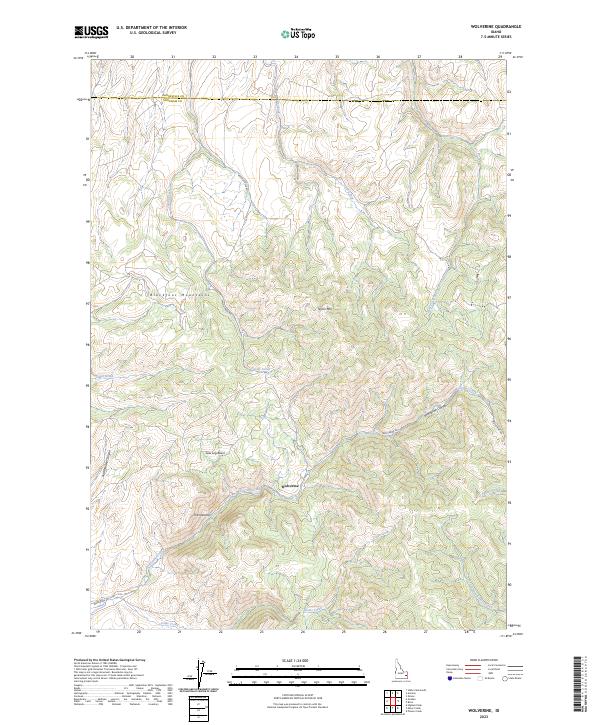
2023 Map of Wolverine
USGS Topo · Published 2023About this map
The Blackfoot Mountains dominate this high-elevation landscape in eastern Idaho, where deep drainage systems like Rattlesnake Canyon and Wolverine Canyon carve through the terrain. The small settlement of Wolverine serves as a central point in a region defined by its rugged watercourses, including Wolverine Creek and Taylor Creek. The geography here transitions between high peaks such as Taylor Mtn and protected lowlands like Saw Log Basin, reflecting a traditional western mountain economy built around grazing and timber.
Find a feature on this map
25 named features on this map. Tap any name to fly to it.
Don’t see what you’re looking for? This feature index may not catch every label — zoom into the map to look around manually.
Map Details
Editions of this 2023 Wolverine Map
This is the sole edition of this map. No revisions or reprints were ever made.
Other maps of this area

1918 · Paradise Valley
USGS Topo · 1:62,500

1924 · Ammon
USGS Topo · 1:62,500

1948 · Idaho Falls South
USGS Topo · 1:24,000

1950 · Idaho Falls South
USGS Topo · 1:24,000

1950 · Goshen
USGS Topo · 1:24,000

1951 · Higham Peak
USGS Topo · 1:24,000

1952 · Goshen
USGS Topo · 1:24,000

1955 · Yandell Springs
USGS Topo · 1:62,500

1955 · Idaho Falls
USGS Topo · 1:250,000

1955 · Driggs
USGS Topo · 1:250,000