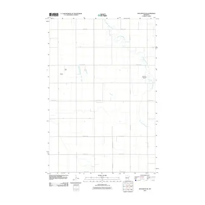
2010 Map of Wolverton SE
USGS Topo · Published 2010About this map
The South Branch Buffalo River meanders across this rural landscape in Wilkin County, defining the eastern and northern reaches of the quadrangle with its winding course. The terrain is organized by a strict grid of township and county roads, reflecting the systematic agricultural development of the Red River Valley. In the northwest, Deerhorn Cemetery and the Nord Field settlement provide key points of reference for local historians and genealogists tracing family roots in this corner of Minnesota.
Find a feature on this map
25 named features on this map. Tap any name to fly to it.
Don’t see what you’re looking for? This feature index may not catch every label — zoom into the map to look around manually.
Map Details
Editions of this 2010 Wolverton SE Map
This is the sole edition of this map. No revisions or reprints were ever made.
Other maps of this area

1895 · Fargo
USGS Topo · 1:125,000

1897 · Fargo
USGS Topo · 1:125,000

1904 · Wahpeton
USGS Topo · 1:125,000

1919 · Rothsay
USGS Topo · 1:62,500

1919 · Barnesville
USGS Topo · 1:62,500

1951 · Rothsay
USGS Topo · 1:62,500

1952 · Barnesville
USGS Topo · 1:62,500

1953 · Fargo
USGS Topo · 1:250,000

1956 · Fargo
USGS Topo · 1:250,000

1964 · Baker
USGS Topo · 1:24,000