Loading...
Loading map...1966 Map of Wolverton
USGS Topo · Published 1967About this map
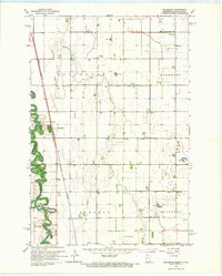
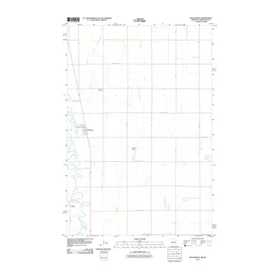
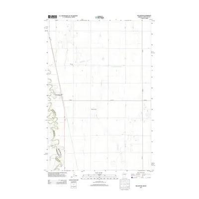
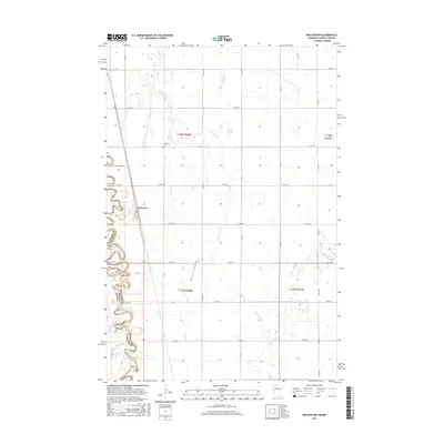
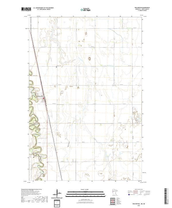
The Red River defines the western edge of this mid-1960s survey, marking the state boundary between Minnesota and North Dakota. In the heart of Wilkin County, the settlement of Wolverton serves as a primary hub, situated along the Great Northern railroad line. The landscape is characterized by its organized agricultural layout and an extensive water management system, illustrated by County Ditch No 5A, County Ditch No 22, and County Ditch No 26.
Find a feature on this map
19 named features on this map. Tap any name to fly to it.
Don’t see what you’re looking for? This feature index may not catch every label — zoom into the map to look around manually.
Map Details
Date Portrayed1966
Date Published1967
PublisherU.S. Geological Survey
Map TypeTopographic
Scale1:24,000
Physical Dimensions22.14 x 27.61 inches
Editions of this 1966 Wolverton Map
This is the sole edition of this map. No revisions or reprints were ever made.
Historical Maps of Wolverton Through Time
6 maps found
Featured Locations
Source Details
SourceU.S. Geological Survey
CopyrightPublic Domain