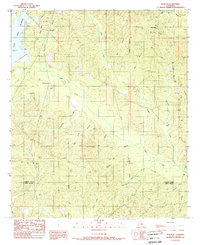
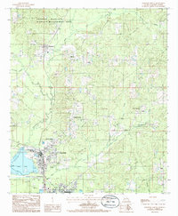
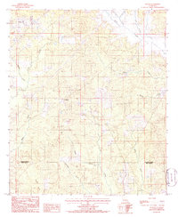
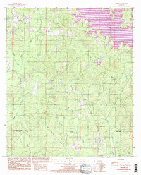
1989 Map of Womack
USGS Topo · Published 1989This historical map portrays the area of Womack in 1989, primarily covering Jackson Parish as well as portions of Winn Parish. Featuring a scale of 1:24000, this map provides a highly detailed snapshot of the terrain, roads, buildings, counties, and historical landmarks in the Womack region at the time. Published in 1989, it is the sole known edition of this map.
Map Details
Editions of this 1989 Womack Map
This is the sole edition of this map. No revisions or reprints were ever made.
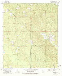
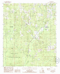
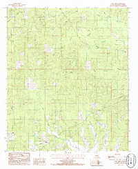
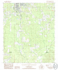
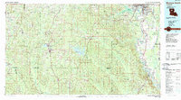
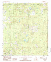
Historical Maps of Womack Through Time
13 maps found
1982 Chatham SE
Jackson Parish, LA
1985 Clay
Jackson Parish, LA
1985 Curr Creek
Jackson Parish, LA
1985 Jonesboro North
Jackson Parish, LA
1985 Jonesboro South
Jackson Parish, LA
1985 Monroe South
Jackson Parish, LA
1985 Vernon
Jackson Parish, LA
1985 Weston
Jackson Parish, LA
1989 Womack
Jackson Parish, LA
1994 Clay
Jackson Parish, LA
1994 Curr Creek
Jackson Parish, LA
1994 Jonesboro South
Jackson Parish, LA
1994 Weston
Jackson Parish, LA