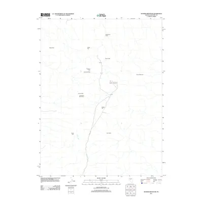
2011 Map of Wonder Mountain
USGS Topo · Published 2011About this map
Hercules and Wonder are situated in this high-desert landscape within the Louderback Mountains, documented in this 2011 topographic survey. The area is defined by its dramatic relief, where Wonder Mountain and Queen Peak overlook the lower-elevation Badger Flat. For local history researchers, the map traces the drainages of Wonder Wash and the presence of Hercules Spring, essential water sources in this arid region of Churchill County. The terrain is marked by numerous high points, including Porphyry Peak, Driscoll Peak, and the distinct Twin Peaks. Transportation routes converge at the settlement sites, showing the modern footprint of these historic locations relative to the natural landmarks like Strayhorse Gulch and Camelback Peak. This survey provides a precise modern record of the geographic features that shaped the early development of this remote Nevada district.
Find a feature on this map
17 named features on this map. Tap any name to fly to it.
Don’t see what you’re looking for? This feature index may not catch every label — zoom into the map to look around manually.
Map Details
Editions of this 2011 Wonder Mountain Map
This is the sole edition of this map. No revisions or reprints were ever made.
Other maps of this area

1908 · Carson Sink
USGS Topo · 1:250,000

1910 · Carson Sink
USGS Topo · 1:250,000

1955 · Millett
USGS Topo · 1:250,000

1957 · Reno
USGS Topo · 1:250,000

1959 · Reno
USGS Topo · 1:250,000

1959 · Millett
USGS Topo · 1:250,000

1960 · Reno
USGS Topo · 1:250,000

1966 · Clan Alpine Ranch
USGS Topo · 1:62,500

1969 · Camp Creek Canyon
USGS Topo · 1:24,000

1969 · Eastgate
USGS Topo · 1:24,000