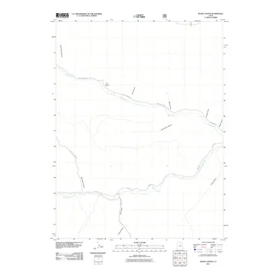
2011 Map of Wood Canyon
USGS Topo · Published 2011About this map
Argyle Creek and Nine Mile Creek flow through this section of Duchesne County, creating a landscape defined by deep drainages and tributary canyons. The map documents a sparsely populated region where transportation is dictated by the watercourses, as seen with Argyle Canyon Rd following its namesake creek across the northern portion of the quadrangle. In the south, 9 Mile Rd serves as the primary artery along the floor of the Nine Mile canyon system. The nomenclature of the area points to a history of land use and exploration, with numerous features bearing specific names like Leers Canyon, Arnolds Canyon, and Timothy Canyon. These names, alongside terrain features like Birch Bottom Canyon and Little Sulphur Canyon, provide a detailed record of the local geography as it was surveyed at the start of the 21st century.
Find a feature on this map
16 named features on this map. Tap any name to fly to it.
Don’t see what you’re looking for? This feature index may not catch every label — zoom into the map to look around manually.
Map Details
Editions of this 2011 Wood Canyon Map
This is the sole edition of this map. No revisions or reprints were ever made.
Other maps of this area

1886 · Price River
USGS Topo · 1:250,000

1896 · Price River
USGS Topo · 1:250,000

1915 · Sunnyside
USGS Topo · 1:62,500

1915 · Wellington
USGS Topo · 1:62,500

1956 · Price
USGS Topo · 1:250,000

1960 · Price
USGS Topo · 1:250,000

1962 · Price
USGS Topo · 1:250,000
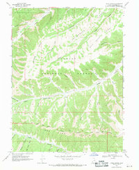
1968 · Lance Canyon
USGS Topo · 1:24,000
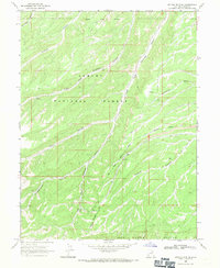
1968 · Anthro Mtn NE
USGS Topo · 1:24,000

1968 · Wood Canyon
USGS Topo · 1:24,000