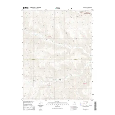
2014 Map of Wood Canyon
USGS Topo · Published 2014About this map
Ashley National Forest and the rugged canyon systems of the Uinta Basin define this topography along the border of Duchesne and Carbon Counties. The landscape is dominated by deeply incised drainages, including the prominent Ninemile Canyon and Argyle Canyon, which carve through the high plateaus. Water follows the paths of Nine Mile Cr and Argyle Cr, while the towering Bad Land Cliffs overlook the northern reaches of the quadrangle.
Find a feature on this map
29 named features on this map. Tap any name to fly to it.
Don’t see what you’re looking for? This feature index may not catch every label — zoom into the map to look around manually.
Map Details
Editions of this 2014 Wood Canyon Map
This is the sole edition of this map. No revisions or reprints were ever made.
Other maps of this area

1886 · Price River
USGS Topo · 1:250,000

1896 · Price River
USGS Topo · 1:250,000

1915 · Sunnyside
USGS Topo · 1:62,500

1915 · Wellington
USGS Topo · 1:62,500

1956 · Price
USGS Topo · 1:250,000

1960 · Price
USGS Topo · 1:250,000

1962 · Price
USGS Topo · 1:250,000
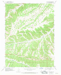
1968 · Lance Canyon
USGS Topo · 1:24,000
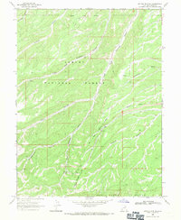
1968 · Anthro Mtn NE
USGS Topo · 1:24,000

1968 · Wood Canyon
USGS Topo · 1:24,000