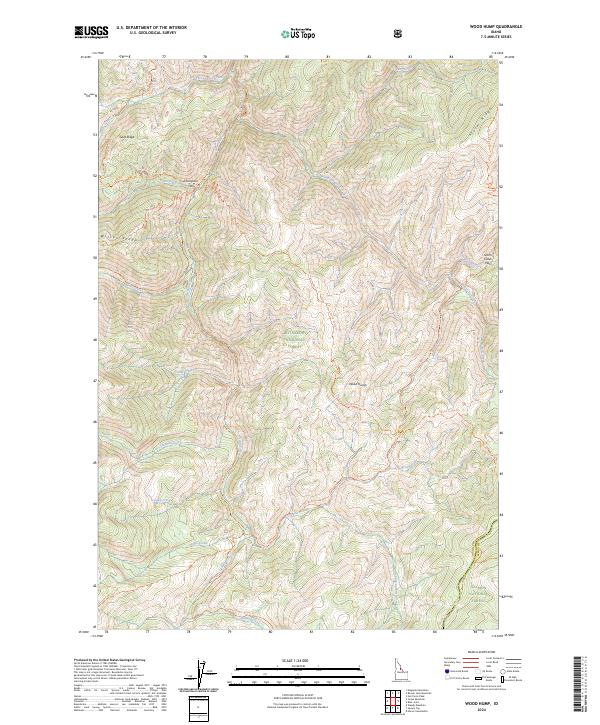
2024 Map of Wood Hump
USGS Topo · Published 2024About this map
Thompson Flat sits as a rare level point in this high mountain landscape, positioned along the upper reaches of Witter Creek. The terrain is defined by a series of prominent divides, including Goat Ridge and Witter Ridge to the west, and Storm Ridge to the east. The drainage network is complex, with numerous tributaries such as Three Lakes Creek, Swet Creek, and Lake Creek feeding into the protected corridors of the Middle Fork Clearwater Wild and Scenic River. This area is heavily managed for conservation, falling within the Bitterroot National Forest and the Frank Church-River of No Return Wilderness. The map reveals an extensive network of pack trails, such as the Wood Hump Trl and Selway River - Front Trl, which provide the primary means of navigating the heights of Wood Hump and the adjacent Salmon National Forest.
Find a feature on this map
42 named features on this map. Tap any name to fly to it.
Don’t see what you’re looking for? This feature index may not catch every label — zoom into the map to look around manually.
Map Details
Editions of this 2024 Wood Hump Map
This is the sole edition of this map. No revisions or reprints were ever made.
Other maps of this area

1956 · Elk City
USGS Topo · 1:250,000

1960 · Elk City
USGS Topo · 1:250,000

1962 · Wood Hump
USGS Topo · 1:24,000

1962 · Beaver Jack Mtn
USGS Topo · 1:24,000

1962 · Blue Joint
USGS Topo · 1:24,000

1962 · Square Top
USGS Topo · 1:24,000

1962 · Horse Creek Butte
USGS Topo · 1:24,000

1962 · Nez Perce Peak
USGS Topo · 1:24,000

1978 · Waugh Mountain
USGS Topo · 1:24,000

1978 · Magruder Mtn
USGS Topo · 1:24,000