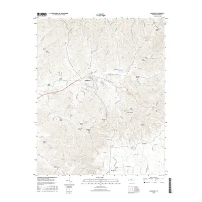
2016 Map of Woodbury
USGS Topo · Published 2016About this map
Woodbury serves as the central hub of this Middle Tennessee landscape, situated at the confluence of several key waterways including the East Fork Stones River and Rush Cr. The settlement pattern follows the valley floors, while the surrounding terrain is defined by a dense network of ridges and hollows, such as Manchester Hill, Sugartree Knob, and Bernal Hollow. Genealogists will find a high concentration of small family and community burial grounds scattered across the countryside, from Riverside Cem near the town center to the more remote Dobbs Cemetery and Jameson Cem. To the southeast, smaller communities like Iconium and Sheybogan anchor the rural landscape along routes like Cannon Way, reflecting the long-standing agricultural and residential character of the region.
Find a feature on this map
151 named features on this map. Tap any name to fly to it.
Don’t see what you’re looking for? This feature index may not catch every label — zoom into the map to look around manually.
Map Details
Editions of this 2016 Woodbury Map
This is the sole edition of this map. No revisions or reprints were ever made.
Other maps of this area

1893 · Mc Minnville
USGS Topo · 1:125,000

1895 · Mc Minnville
USGS Topo · 1:125,000

1908 · Woodbury
USGS Topo · 1:62,500

1913 · Hollow Springs
USGS Topo · 1:62,500

1936 · Beech Grove
USGS Topo · 1:24,000

1936 · Petty Gap
USGS Topo · 1:24,000

1942 · Statesville
USGS Topo · 1:100,000

1943 · Mc Minnville
USGS Topo · 1:100,000

1952 · Centertown
USGS Topo · 1:24,000

1953 · Chattanooga
USGS Topo · 1:250,000