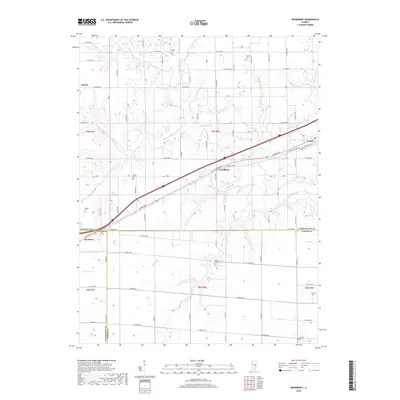
2018 Map of Woodbury
USGS Topo · Published 2018About this map
Woodbury lies at the heart of this prairie landscape, where the historical National Rd and interstate corridors intersect. The area is defined by a dense network of family and community cemeteries, including Island Creek Cem, Elliott Cem, and Farmer Cem, which serve as vital landmarks for genealogists tracing early residents of Cumberland, Effingham, and Jasper counties. The terrain is segmented by numerous waterways such as Muddy Creek, Turkey Cr, and Spring Point Cr, which have historically influenced the placement of rural homesteads and transport routes.
Find a feature on this map
56 named features on this map. Tap any name to fly to it.
Don’t see what you’re looking for? This feature index may not catch every label — zoom into the map to look around manually.
Map Details
Editions of this 2018 Woodbury Map
This is the sole edition of this map. No revisions or reprints were ever made.
Other maps of this area

1933 · Toledo
USGS Topo · 1:62,500

1934 · Mattoon
USGS Topo · 1:62,500

1937 · Mattoon
USGS Topo · 1:62,500

1938 · Toledo
USGS Topo · 1:62,500

1940 · Greenup
USGS Topo · 1:62,500

1943 · Greenup
USGS Topo · 1:62,500

1953 · Teutopolis
USGS Topo · 1:62,500

1958 · Decatur
USGS Topo · 1:250,000

1961 · Decatur
USGS Topo · 1:250,000
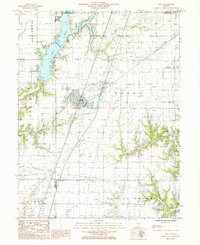
1984 · Neoga
USGS Topo · 1:24,000