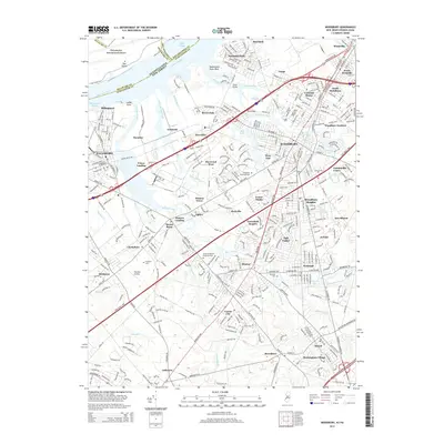
2014 Map of Woodbury
USGS Topo · Published 2014About this map
Philadelphia International Airport sits along the northern edge of this survey, where the Delaware River separates Pennsylvania from the densely settled communities of Gloucester County, New Jersey. This region reflects a complex landscape of tidal waterways and suburban expansion, anchored by the historic center of Woodbury. The winding course of Mantua Creek and its many tributaries, such as Edwards Run and Still Run, dictate the placement of early settlements and modern residential developments alike.
Find a feature on this map
75 named features on this map. Tap any name to fly to it.
Don’t see what you’re looking for? This feature index may not catch every label — zoom into the map to look around manually.
Map Details
Editions of this 2014 Woodbury Map
This is the sole edition of this map. No revisions or reprints were ever made.
Other maps of this area

1890 · Salem
USGS Topo · 1:62,500

1890 · Glassboro
USGS Topo · 1:62,500

1891 · Philadelphia
USGS Topo · 1:62,500

1894 · Chester
USGS Topo · 1:62,500

1894 · Philadelphia
USGS Topo · 1:62,500

1896 · Philadelphia
USGS Topo · 1:62,500

1896 · Chester
USGS Topo · 1:62,500

1898 · Salem
USGS Topo · 1:62,500

1898 · Glassboro
USGS Topo · 1:62,500

1898 · Chester
USGS Topo · 1:62,500
Featured Places
- Philadelphia, PA
- Washington Township, NJ
- Deptford Township, NJ
- West Deptford Township, NJ
- Mantua Township, NJ