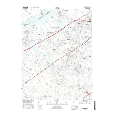
2016 Map of Woodbury
USGS Topo · Published 2016About this map
The Delaware River shoreline at Hog Island and Lodge Point anchors this 2016 survey, where the heavy industrial and transport infrastructure of the riverfront meets the established residential corridors of New Jersey. The city of Woodbury stands as the central hub, surrounded by a constellation of long-standing communities such as Thorofare, Mantua, and Wenonah. The landscape is deeply defined by the winding paths of Mantua Creek and its many tributaries, including Nehonsey Brook and Chestnut Br, which carve through suburban neighborhoods and wooded tracts. Researchers will find significant genealogical interest in the numerous large memorial grounds, including Eglington Cem and Gates of Heaven Memorial Park. The map also captures the transition from the sprawling Philadelphia International Airport complex on the Pennsylvania side to the dense road networks of the New Jersey Tpke and Bridgeton Pike that drive the region's connectivity.
Find a feature on this map
70 named features on this map. Tap any name to fly to it.
Don’t see what you’re looking for? This feature index may not catch every label — zoom into the map to look around manually.
Map Details
Editions of this 2016 Woodbury Map
This is the sole edition of this map. No revisions or reprints were ever made.
Other maps of this area

1890 · Salem
USGS Topo · 1:62,500

1890 · Glassboro
USGS Topo · 1:62,500

1891 · Philadelphia
USGS Topo · 1:62,500

1894 · Chester
USGS Topo · 1:62,500

1894 · Philadelphia
USGS Topo · 1:62,500

1896 · Philadelphia
USGS Topo · 1:62,500

1896 · Chester
USGS Topo · 1:62,500

1898 · Salem
USGS Topo · 1:62,500

1898 · Glassboro
USGS Topo · 1:62,500

1898 · Chester
USGS Topo · 1:62,500
Featured Places
- Philadelphia, PA
- Washington Township, NJ
- Deptford Township, NJ
- West Deptford Township, NJ
- Mantua Township, NJ