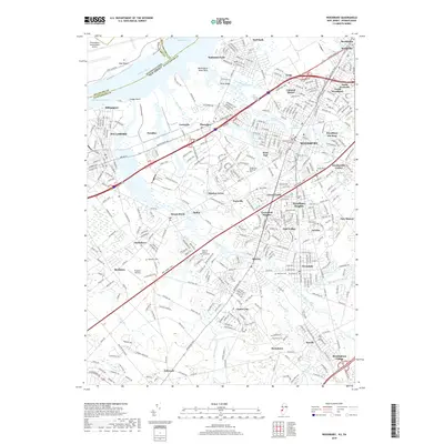
2019 Map of Woodbury
USGS Topo · Published 2019About this map
The Delaware River corridor defines this landscape, where the industrial edges of Pennsylvania meet the suburban developments of New Jersey. The map shows the sprawling infrastructure of Philadelphia International Airport and the complex waterway network including Main Ditch and Clonmell Cr. Significant local administration is centered at the Gloucester County Courthouse in Woodbury, surrounded by a dense collection of neighborhoods such as Colonial Manor, Oak Valley, and Gardenville Center.
Find a feature on this map
73 named features on this map. Tap any name to fly to it.
Don’t see what you’re looking for? This feature index may not catch every label — zoom into the map to look around manually.
Map Details
Editions of this 2019 Woodbury Map
This is the sole edition of this map. No revisions or reprints were ever made.
Other maps of this area

1890 · Salem
USGS Topo · 1:62,500

1890 · Glassboro
USGS Topo · 1:62,500

1891 · Philadelphia
USGS Topo · 1:62,500

1894 · Chester
USGS Topo · 1:62,500

1894 · Philadelphia
USGS Topo · 1:62,500

1896 · Philadelphia
USGS Topo · 1:62,500

1896 · Chester
USGS Topo · 1:62,500

1898 · Salem
USGS Topo · 1:62,500

1898 · Glassboro
USGS Topo · 1:62,500

1898 · Chester
USGS Topo · 1:62,500
Featured Places
- Philadelphia, PA
- Washington Township, NJ
- Deptford Township, NJ
- West Deptford Township, NJ
- Mantua Township, NJ