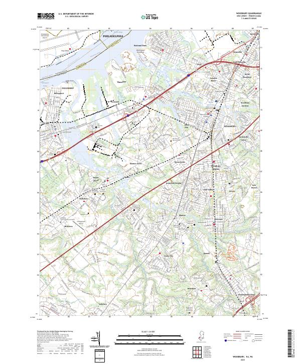
2023 Map of Woodbury
USGS Topo · Published 2023About this map
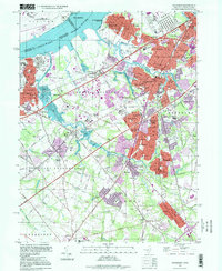
Woodbury serves as the focal point of this Gloucester County landscape, where the Gloucester County Courthouse anchors a densely settled corridor. The suburban and rural character of the early 21st century is defined by the winding course of Mantua Creek and Woodbury Creek, which drain toward the Delaware River near National Park and Thorofare. A remarkable density of burial sites, including the Old Stephens Cem, Mickleton Meeting House Graveyard, and the Alms House Cem, provides a detailed record of the region's long-standing community foundations. Transportation routes like Crown Point Rd and Kings Hwy connect historic boroughs such as Paulsboro, Wenonah, and Mickleton, while the Hollingshead Airport remains a notable local landmark. This modern survey effectively illustrates the transition from the riverfront industry of Billingsport to the interior residential developments of Oak Valley and Woodbury Heights.
Find a feature on this map
92 named features on this map. Tap any name to fly to it.
Don’t see what you’re looking for? This feature index may not catch every label — zoom into the map to look around manually.
Map Details
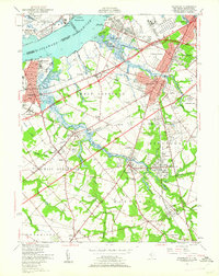
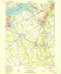
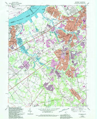
Editions of this 2023 Woodbury Map
This is the sole edition of this map. No revisions or reprints were ever made.
Historical Maps of Paradise Through Time
5 maps found
Featured Locations
- Mantua Township, NJ
- Washington Township, NJ
- West Deptford Township, NJ
- Deptford Township, NJ
- Philadelphia, PA