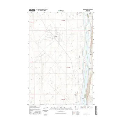
2017 Map of Wooded Island
USGS Topo · Published 2017About this map
The Columbia River carves a significant path through this landscape, marking the natural boundary between Benton and Franklin counties. This 2017 study illustrates the intricate network of river islands and riverside flats that define the region's geography. Notable landforms such as Wooded Island, Homestead Island, and Johnson Island sit within the river's course, while the eastern banks rise into several distinct drainages including Parson's Canyon, Baxter Canyon, and Rankin Canyon.
Find a feature on this map
25 named features on this map. Tap any name to fly to it.
Don’t see what you’re looking for? This feature index may not catch every label — zoom into the map to look around manually.
Map Details
Editions of this 2017 Wooded Island Map
This is the sole edition of this map. No revisions or reprints were ever made.
Other maps of this area

1917 · Pasco
USGS Topo · 1:125,000

1924 · Hanford
USGS Topo · 1:62,500

1925 · Scooteney Lake
USGS Topo · 1:62,500

1951 · Scooteney Lake
USGS Topo · 1:62,500

1951 · Richland
USGS Topo · 1:62,500

1951 · Hanford
USGS Topo · 1:62,500

1953 · Walla Walla
USGS Topo · 1:250,000

1958 · Walla Walla
USGS Topo · 1:250,000

1965 · Mesa
USGS Topo · 1:62,500

1965 · Eltopia
USGS Topo · 1:62,500