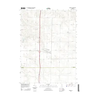
2015 Map of Woodhull
USGS Topo · Published 2015About this map
Woodhull serves as the central hub of this agricultural landscape along the border of Henry Co and Knox Co. The village layout is detailed with specific thoroughfares like W 4th Ave and Lake Dr, showing the intersection of local commerce and residential growth. Beyond the town center, the map reveals a history of communal gathering and family heritage through its preservation of rural burial grounds, including the Clover Chapel Cem and Summit Level Cem. The terrain is defined by the drainage patterns of Pope Cr and Mud Cr, which cut through the farm plots. Smaller features like Crescent Lake and local roads such as Hickory and Barons offer fine-grained detail for those tracing 21st-century land use and property boundaries in western Illinois.
Find a feature on this map
49 named features on this map. Tap any name to fly to it.
Don’t see what you’re looking for? This feature index may not catch every label — zoom into the map to look around manually.
Map Details
Editions of this 2015 Woodhull Map
This is the sole edition of this map. No revisions or reprints were ever made.
Other maps of this area

1931 · Galva
USGS Topo · 1:48,000

1934 · Geneseo
USGS Topo · 1:62,500

1937 · Orion
USGS Topo · 1:62,500

1940 · Galva
USGS Topo · 1:62,500

1944 · Galva
USGS Topo · 1:62,500

1947 · Woodhull
USGS Topo · 1:62,500

1953 · Nekoma
USGS Topo · 1:24,000

1953 · Woodhull
USGS Topo · 1:24,000
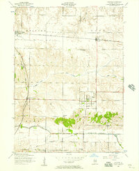
1953 · Andover
USGS Topo · 1:24,000
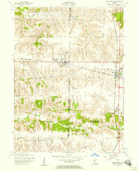
1953 · New Windsor
USGS Topo · 1:24,000