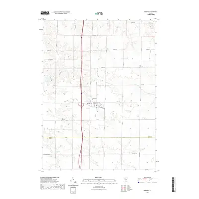
2021 Map of Woodhull
USGS Topo · Published 2021About this map
Woodhull serves as the central hub of this agricultural landscape in the 2020s, situated at the intersection of a sprawling rural road network and major thoroughfares. The town's grid is detailed down to residential streets like W 4th Ave and E Highway Ave, providing a clear view of the modern settlement pattern. Beyond the village limits, the terrain is defined by the winding paths of Mud Cr and Dugout Cr, which cut through the surrounding farmlands. For those tracing family histories, the map identifies several significant burial grounds, including Clover Chapel Cem in the northeast and Saint Johns Cem to the southwest. The southern portion of the map is marked by the Henry Co Knox Co boundary line, which runs parallel to the natural course of Pope Cr, illustrating how political borders often align with the area's hydrology.
Find a feature on this map
51 named features on this map. Tap any name to fly to it.
Don’t see what you’re looking for? This feature index may not catch every label — zoom into the map to look around manually.
Map Details
Editions of this 2021 Woodhull Map
This is the sole edition of this map. No revisions or reprints were ever made.
Other maps of this area

1931 · Galva
USGS Topo · 1:48,000

1934 · Geneseo
USGS Topo · 1:62,500

1937 · Orion
USGS Topo · 1:62,500

1940 · Galva
USGS Topo · 1:62,500

1944 · Galva
USGS Topo · 1:62,500

1947 · Woodhull
USGS Topo · 1:62,500

1953 · Nekoma
USGS Topo · 1:24,000

1953 · Woodhull
USGS Topo · 1:24,000
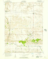
1953 · Andover
USGS Topo · 1:24,000
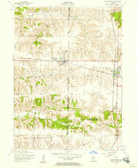
1953 · New Windsor
USGS Topo · 1:24,000