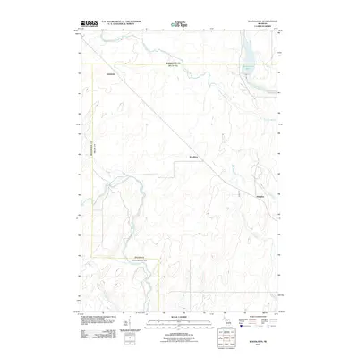
2011 Map of Woodlawn
USGS Topo · Published 2011About this map
Woodlawn and its surrounding hamlets in Menominee County are defined by a complex network of waterways that shaped the settlement of this Upper Peninsula landscape. Early twenty-first-century infrastructure is visible here, centered on the Boney Falls Basin where the Escanaba River flows. The area exhibits a pattern of rural dispersion, with the small communities of Hendricks and Kingsley positioned near the transit lines and timberlands.
Find a feature on this map
10 named features on this map. Tap any name to fly to it.
Don’t see what you’re looking for? This feature index may not catch every label — zoom into the map to look around manually.
Map Details
Editions of this 2011 Woodlawn Map
This is the sole edition of this map. No revisions or reprints were ever made.
Other maps of this area
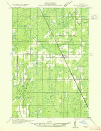
1932 · Rock SW
USGS Topo · 1:31,680
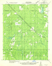
1932 · Whitney NE
USGS Topo · 1:31,680
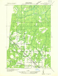
1932 · Whitney SE
USGS Topo · 1:31,680
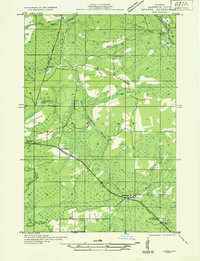
1932 · Helena SW
USGS Topo · 1:31,680
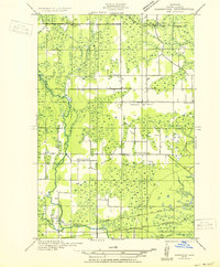
1932 · Gladstone SW
USGS Topo · 1:31,680
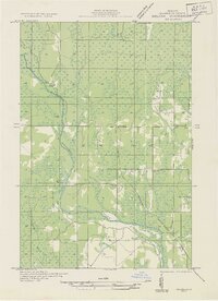
1932 · Helena
USGS Topo · 1:31,680
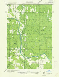
1932 · Gladstone NW
USGS Topo · 1:31,680
1950 · Gladstone NW
USGS Topo · 1:31,680
1951 · Helena SW
USGS Topo · 1:31,680
1951 · Helena
USGS Topo · 1:31,680