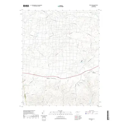
2019 Map of Woodlawn
USGS Topo · Published 2019About this map
Woodlawn and Oakwood anchor this landscape along the Stewart and Montgomery County line in northwestern Tennessee. The terrain is defined by a dense network of drainage, where Fletchers Fork and Moss Cr cut through the undulating hills. In the northern reaches, Piney Fork and the Little West Fork flow through a region marked by rural road systems and military-themed trails like Ghost Corps Trl and Hell Cat Trl.
Find a feature on this map
51 named features on this map. Tap any name to fly to it.
Don’t see what you’re looking for? This feature index may not catch every label — zoom into the map to look around manually.
Map Details
Editions of this 2019 Woodlawn Map
This is the sole edition of this map. No revisions or reprints were ever made.
Other maps of this area

1931 · Erin
USGS Topo · 1:62,500

1944 · Clarksville
USGS Topo · 1:50,000

1951 · Roaring Spring
USGS Topo · 1:24,000

1951 · New Providence
USGS Topo · 1:24,000

1951 · Indian Mound
USGS Topo · 1:24,000

1951 · Herndon
USGS Topo · 1:24,000

1951 · Oak Grove
USGS Topo · 1:24,000

1951 · Woodlawn
USGS Topo · 1:24,000

1956 · Nashville
USGS Topo · 1:250,000

1957 · New Providence
USGS Topo · 1:24,000