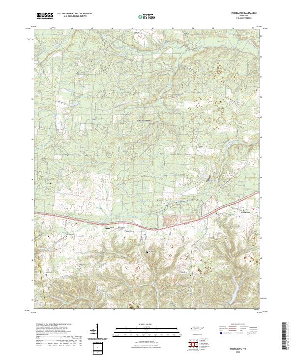
2022 Map of Woodlawn
USGS Topo · Published 2022About this map
The unincorporated communities of Oakwood and Woodlawn anchor this portion of Montgomery County, where the landscape is defined by the winding drainages of Fletchers Fork and the Little West Fork. The terrain is characterized by deep incisions like Glover Hollow and prominent elevations such as Seven Mile Ridge, reflecting the complex topography north of the Cumberland River. For those tracing family histories, the map identifies several small burial grounds, including Harrison Cem, Blair Cem, Casey Cem, and the Evans and Dill Cem, which often represent the earliest agrarian settlements in the region.
Find a feature on this map
56 named features on this map. Tap any name to fly to it.
Don’t see what you’re looking for? This feature index may not catch every label — zoom into the map to look around manually.
Map Details
Editions of this 2022 Woodlawn Map
This is the sole edition of this map. No revisions or reprints were ever made.
Other maps of this area

1931 · Erin
USGS Topo · 1:62,500

1944 · Clarksville
USGS Topo · 1:50,000

1951 · Roaring Spring
USGS Topo · 1:24,000

1951 · New Providence
USGS Topo · 1:24,000

1951 · Indian Mound
USGS Topo · 1:24,000

1951 · Herndon
USGS Topo · 1:24,000

1951 · Oak Grove
USGS Topo · 1:24,000

1951 · Woodlawn
USGS Topo · 1:24,000

1956 · Nashville
USGS Topo · 1:250,000

1957 · New Providence
USGS Topo · 1:24,000