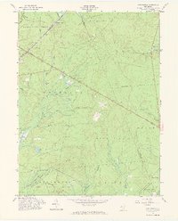
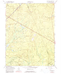
1957 Map of Woodmansie
USGS Topo · Published 1973About this map
Woodmansie stands as a primary settlement node in this mid-century survey of the New Jersey Pine Barrens, situated along the Central RR of New Jersey. The landscape is defined by its specialized water-management and agricultural heritage, notably the numerous Cranberry Bogs and the series of drainage branches like Sykes Branch and Shoal Branch that feed into the larger ecosystem. Large portions of the territory are preserved within the Lebanon State Forest and Penn State Forest, illustrating the region's historical commitment to conservation and forestry.
Find a feature on this map
43 named features on this map. Tap any name to fly to it.
Don’t see what you’re looking for? This feature index may not catch every label — zoom into the map to look around manually.
Map Details
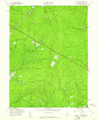
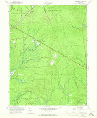
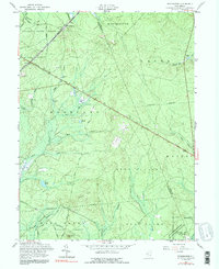
Editions of this 1957 Woodmansie Map
5 editions found
Other maps of this area

1884 · Whitings
USGS Topo · 1:62,500

1888 · Pemberton
USGS Topo · 1:62,500

1888 · Little Egg Harbor
USGS Topo · 1:62,500

1888 · Whitings
USGS Topo · 1:62,500

1890 · Mullica
USGS Topo · 1:62,500

1893 · Little Egg Harbor
USGS Topo · 1:62,500

1894 · Pemberton
USGS Topo · 1:62,500

1894 · Mullica
USGS Topo · 1:62,500

1898 · Pemberton
USGS Topo · 1:62,500

1898 · Mullica
USGS Topo · 1:62,500
Featured Places
- Manchester Township, NJ
- Stafford Township, NJ
- Lacey Township, NJ
- Barnegat Township, NJ
- Little Egg Harbor Township, NJ