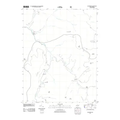
2011 Map of Woodrow
USGS Topo · Published 2011About this map
The Williams River snakes through this high-elevation landscape, defining the character of the terrain between Woodrow and West Union. This 2011 survey captures a pocket of the Monongahela region where recreation and topography dominate the landscape, from the valley floor at Tea Creek Campground to the high peaks of Red Spruce Knob and Big Spruce Knob. The map reveals a complex network of forest roads and trails, such as Dog Town Rd and Laurel Creek Club Rd, which provide access to the various knobs and mountains. The presence of the Red Lick Overlook Point of Interest suggests the prominence of this area for its expansive vistas across Red Lick Mountain and the surrounding drainage basins of Big Laurel Creek and Tea Creek.
Find a feature on this map
40 named features on this map. Tap any name to fly to it.
Don’t see what you’re looking for? This feature index may not catch every label — zoom into the map to look around manually.
Map Details
Editions of this 2011 Woodrow Map
This is the sole edition of this map. No revisions or reprints were ever made.
Other maps of this area

1891 · Huntersville
USGS Topo · 1:125,000

1894 · Huntersville
USGS Topo · 1:125,000

1915 · Webster Springs
USGS Topo · 1:48,000

1918 · Webster Springs
USGS Topo · 1:62,500

1923 · Lobelia
USGS Topo · 1:48,000

1923 · Marlinton
USGS Topo · 1:48,000

1923 · Mingo
USGS Topo · 1:48,000

1925 · Mingo
USGS Topo · 1:62,500

1925 · Marlinton
USGS Topo · 1:62,500

1925 · Lobelia
USGS Topo · 1:62,500