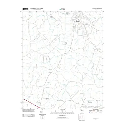
2011 Map of Woodruff
USGS Topo · Published 2011About this map
The town of Woodruff serves as the primary hub for this portion of Spartanburg County, characterized by a detailed street grid that includes Stone Ave and E Hayne St. As of 2011, the surrounding landscape is defined by the winding course of the Enoree River and a dense network of water features, including Lick Creek and Durbin Creek. The area maintains its rural Southern character through numerous smaller settlements like Youngs and Martin Crossroads. For genealogists, the map is a significant resource, documenting many local burial grounds such as Wrights Cemetery, Friendship Cemetery, and Martin Cemetery. The presence of established congregations at New Bethel Church and Bramlett Church further highlights the community centers that have anchored this region for generations. Numerous small impoundments, such as M H Martin Pond, dot the tributaries, reflecting local land use and water management patterns near the Enoree River.
Find a feature on this map
145 named features on this map. Tap any name to fly to it.
Don’t see what you’re looking for? This feature index may not catch every label — zoom into the map to look around manually.
Map Details
Editions of this 2011 Woodruff Map
This is the sole edition of this map. No revisions or reprints were ever made.
Other maps of this area

1935 · Greer
USGS Topo · 1:48,000

1938 · Greer
USGS Topo · 1:62,500

1941 · Spartanburg
USGS Topo · 1:250,000

1947 · Spartanburg
USGS Topo · 1:62,500

1949 · Spartanburg
USGS Topo · 1:62,500

1953 · Spartanburg
USGS Topo · 1:250,000

1954 · Greenville
USGS Topo · 1:250,000

1957 · Fountain Inn
USGS Topo · 1:62,500

1957 · Greer
USGS Topo · 1:62,500

1958 · Greenville
USGS Topo · 1:250,000