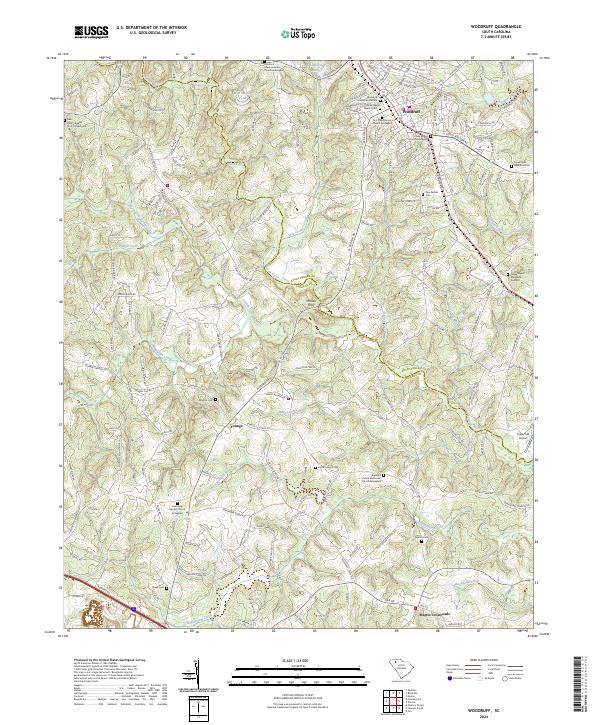
2024 Map of Woodruff
USGS Topo · Published 2024About this map
Woodruff serves as the primary hub of this landscape where the Spartanburg Co and Laurens Co lines meet. The terrain is defined by the winding path of the Enoree River, which forms a natural boundary to the north, and the numerous tributaries like Durbin Creek and Beaverdam Creek that carve through the surrounding countryside. This modern survey illustrates a rural-to-suburban transition, where traditional family names and long-standing institutions remain anchored to the land.
Find a feature on this map
151 named features on this map. Tap any name to fly to it.
Don’t see what you’re looking for? This feature index may not catch every label — zoom into the map to look around manually.
Map Details
Editions of this 2024 Woodruff Map
This is the sole edition of this map. No revisions or reprints were ever made.
Other maps of this area

1935 · Greer
USGS Topo · 1:48,000

1938 · Greer
USGS Topo · 1:62,500

1941 · Spartanburg
USGS Topo · 1:250,000

1947 · Spartanburg
USGS Topo · 1:62,500

1949 · Spartanburg
USGS Topo · 1:62,500

1953 · Spartanburg
USGS Topo · 1:250,000

1954 · Greenville
USGS Topo · 1:250,000

1957 · Fountain Inn
USGS Topo · 1:62,500

1957 · Greer
USGS Topo · 1:62,500

1958 · Greenville
USGS Topo · 1:250,000