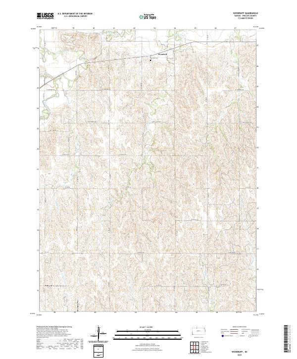
2022 Map of Woodruff
USGS Topo · Published 2022About this map
Woodruff sits at the northern edge of Phillips County, just south of the Nebraska border, where the land is carved by an intricate network of seasonal drainages. This high-plains landscape is defined by the course of Prairie Dog Cr and its many tributaries, including the colorfully named Starvation Cr and Battle Cr. The settlement of Woodruff remains the primary anchor of the area, supported by the nearby Woodruff Cem. The grid of section roads, including W Cherokee Rd and W Hunter Rd, reveals the enduring structure of Kansas homesteading and agricultural divisions. The topography shows the transition from the relatively flat uplands into the steeper breaks of the Jack Cr and Boughton Cr drainages, illustrating how water has dictated the local geography over generations of land use.
Find a feature on this map
24 named features on this map. Tap any name to fly to it.
Don’t see what you’re looking for? This feature index may not catch every label — zoom into the map to look around manually.
Map Details
Editions of this 2022 Woodruff Map
This is the sole edition of this map. No revisions or reprints were ever made.
Other maps of this area

1893 · Norton
USGS Topo · 1:125,000
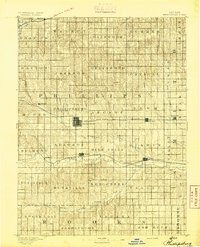
1893 · Phillipsburg
USGS Topo · 1:125,000

1896 · Holdrege
USGS Topo · 1:125,000

1896 · Arapahoe
USGS Topo · 1:125,000

1898 · Arapahoe
USGS Topo · 1:125,000

1955 · Grand Island
USGS Topo · 1:250,000

1955 · Beloit
USGS Topo · 1:250,000

1957 · Grand Island
USGS Topo · 1:250,000
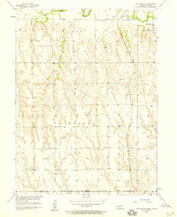
1957 · Stamford SE
USGS Topo · 1:24,000

1958 · Grand Island
USGS Topo · 1:250,000