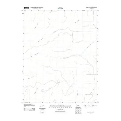
2010 Map of Woods Canyon
USGS Topo · Published 2010About this map
Woods Canyon and Yellow Jacket Canyon define the drainage patterns of this high desert landscape in Montezuma County. The map reveals a network of dramatic geological features including Sandstone Canyon and Burro Canyon, where seasonal watercourses have carved deep into the plateau. Human interaction with the environment is evidenced by a grid of rural routes such as County Rd 15 and County Rd 16, which provide access to the high ground at Goodman Point and Big Point. Water is a scarce but vital resource in this area, represented here by Moqui Lake and the branching reaches of Rock Creek. This survey captures the sparse settlement pattern and the intricate relationship between modern county roads and the natural topography of the Four Corners region.
Find a feature on this map
20 named features on this map. Tap any name to fly to it.
Don’t see what you’re looking for? This feature index may not catch every label — zoom into the map to look around manually.
Map Details
Editions of this 2010 Woods Canyon Map
This is the sole edition of this map. No revisions or reprints were ever made.
Other maps of this area

1956 · Cortez
USGS Topo · 1:250,000

1957 · Moqui NW
USGS Topo · 1:24,000

1957 · Cedar 3 SW
USGS Topo · 1:24,000

1957 · Moqui SW
USGS Topo · 1:24,000

1957 · Moqui SE
USGS Topo · 1:24,000

1958 · Cortez SW
USGS Topo · 1:24,000

1958 · Cortez
USGS Topo · 1:250,000

1959 · Cortez
USGS Topo · 1:250,000

1962 · Cortez
USGS Topo · 1:250,000

1965 · Woods Canyon
USGS Topo · 1:24,000