
1965 Map of Woods Canyon
USGS Topo · Published 1967About this map
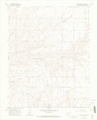
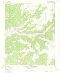
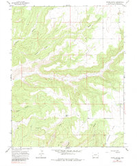
Indian Ruins are scattered across this high mesa and canyon landscape in southwestern Colorado, indicating a deep ancestral presence throughout the region. The topography is defined by the significant incision of Yellowjacket Canyon and its many tributaries, including Woods Canyon and Sandstone Canyon. While much of the land remains undeveloped, the mid-1960s landscape shows early industrial activity with an Oil Well located near Risley Canyon. Water sources are sparse but notable, including Spring Creek and the small Moqui Lake. This survey captures a moment when archaeological heritage coexists with modern infrastructure, such as a Radio Tower near Goodman Point. The intricate network of drainage systems like Burro Canyon and Sand Canyon underscores the complex geography of the Four Corners area before modern expansion altered the character of the high desert.
Find a feature on this map
16 named features on this map. Tap any name to fly to it.
Don’t see what you’re looking for? This feature index may not catch every label — zoom into the map to look around manually.
Map Details
Editions of this 1965 Woods Canyon Map
4 editions found
Other maps of this area

1956 · Cortez
USGS Topo · 1:250,000

1957 · Moqui NW
USGS Topo · 1:24,000

1957 · Cedar 3 SW
USGS Topo · 1:24,000

1957 · Moqui SW
USGS Topo · 1:24,000

1957 · Moqui SE
USGS Topo · 1:24,000

1958 · Cortez SW
USGS Topo · 1:24,000

1958 · Cortez
USGS Topo · 1:250,000

1959 · Cortez
USGS Topo · 1:250,000

1962 · Cortez
USGS Topo · 1:250,000

1965 · Yellow Jacket
USGS Topo · 1:24,000