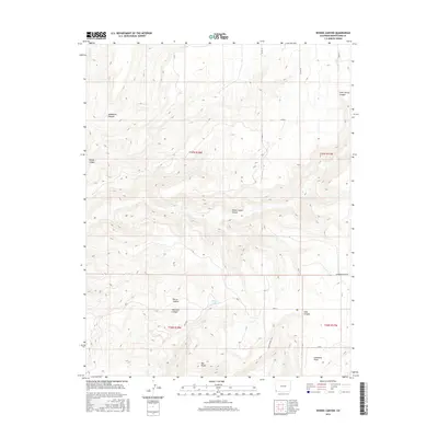
2016 Map of Woods Canyon
USGS Topo · Published 2016About this map
Yellow Jacket Canyon and Sand Canyon dominate this landscape in Montezuma County, where the high desert is deeply incised by a network of drainage systems. This 2016 survey captures a region defined by its complex topography and limited water sources, such as the secluded Moqui Lake and the ephemeral Rock Cr. The map highlights significant landforms including Goodman Point and Big Point, which serve as natural landmarks above the canyon floors. A dedicated network of paths, most notably the Sand Canyon Trail, provides access through the rugged interior, while rural routes like Goodman Point Rd and Co RD 14 skirt the plateaus. The detailed contour lines reveal the sheer walls of Sandstone Canyon and Moccasin Canyon, illustrating the geological character of the Four Corners region.
Find a feature on this map
27 named features on this map. Tap any name to fly to it.
Don’t see what you’re looking for? This feature index may not catch every label — zoom into the map to look around manually.
Map Details
Editions of this 2016 Woods Canyon Map
This is the sole edition of this map. No revisions or reprints were ever made.
Other maps of this area

1956 · Cortez
USGS Topo · 1:250,000

1957 · Moqui NW
USGS Topo · 1:24,000

1957 · Cedar 3 SW
USGS Topo · 1:24,000

1957 · Moqui SW
USGS Topo · 1:24,000

1957 · Moqui SE
USGS Topo · 1:24,000

1958 · Cortez SW
USGS Topo · 1:24,000

1958 · Cortez
USGS Topo · 1:250,000

1959 · Cortez
USGS Topo · 1:250,000

1962 · Cortez
USGS Topo · 1:250,000

1965 · Woods Canyon
USGS Topo · 1:24,000