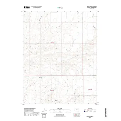
2019 Map of Woods Canyon
USGS Topo · Published 2019About this map
Goodman Point serves as a primary reference point in this corner of Montezuma County, where the high desert plateau is deeply incised by a complex network of drainage systems. The landscape is defined by the significant branching of Yellow Jacket Canyon and Woods Canyon, alongside shorter, steep-walled features like Moccasin Canyon and Cave Spring Canyon. These canyons create a fractured topography that has dictated local movement for generations.
Find a feature on this map
27 named features on this map. Tap any name to fly to it.
Don’t see what you’re looking for? This feature index may not catch every label — zoom into the map to look around manually.
Map Details
Editions of this 2019 Woods Canyon Map
This is the sole edition of this map. No revisions or reprints were ever made.
Other maps of this area

1956 · Cortez
USGS Topo · 1:250,000

1957 · Moqui NW
USGS Topo · 1:24,000

1957 · Cedar 3 SW
USGS Topo · 1:24,000

1957 · Moqui SW
USGS Topo · 1:24,000

1957 · Moqui SE
USGS Topo · 1:24,000

1958 · Cortez SW
USGS Topo · 1:24,000

1958 · Cortez
USGS Topo · 1:250,000

1959 · Cortez
USGS Topo · 1:250,000

1962 · Cortez
USGS Topo · 1:250,000

1965 · Woods Canyon
USGS Topo · 1:24,000