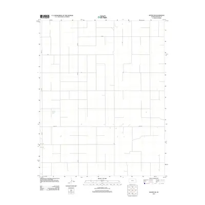
2012 Map of Woods SW
USGS Topo · Published 2012About this map
Agricultural grid lines define this corner of Stevens County, Kansas, as it appeared in the early 2010s. The landscape is structured by a precise network of section roads, including major thoroughfares like Road 20 and Road J. This part of the High Plains reflects a highly organized land-use pattern typical of the region, where the primary infrastructure consists of access routes for farming and ranching operations. Larger connectors such as 2nd St Rd and 6mi Rd facilitate travel across the sparse terrain, which is punctuated only by small water catchments and occasional rural structures. The absence of a central township highlights the distributed nature of modern plains settlement, where life is organized around the section line rather than a concentrated urban core.
Find a feature on this map
6 named features on this map. Tap any name to fly to it.
Don’t see what you’re looking for? This feature index may not catch every label — zoom into the map to look around manually.
Map Details
Editions of this 2012 Woods SW Map
This is the sole edition of this map. No revisions or reprints were ever made.
Other maps of this area

1954 · Perryton
USGS Topo · 1:250,000

1955 · Dodge City
USGS Topo · 1:250,000

1958 · Perryton
USGS Topo · 1:250,000

1958 · Dodge City
USGS Topo · 1:250,000

1959 · Dodge City
USGS Topo · 1:250,000

1967 · Straight NE
USGS Topo · 1:24,000

1967 · Hooker NW
USGS Topo · 1:24,000

1967 · Tyrone
USGS Topo · 1:24,000
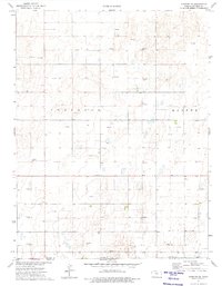
1974 · Hugoton SE
USGS Topo · 1:24,000

1974 · Hugoton
USGS Topo · 1:24,000