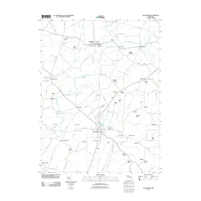
2011 Map of Woodsboro
USGS Topo · Published 2011About this map
The Monocacy River winds through this central Maryland landscape, serving as a corridor for historical transport and early industry. Landmark structures like the Loys Station Covered Bridge and the Old Mill Road Bridge highlight the engineering of the area's rural road network. The map reveals a dense distribution of agrarian and communal hubs, including Creagerstown, Rocky Ridge, and Ladiesburg, each anchored by local post offices or historical cemeteries such as Saint Johns Cemetery and Mount Tabor Cemetery.
Find a feature on this map
138 named features on this map. Tap any name to fly to it.
Don’t see what you’re looking for? This feature index may not catch every label — zoom into the map to look around manually.
Map Details
Editions of this 2011 Woodsboro Map
This is the sole edition of this map. No revisions or reprints were ever made.
Other maps of this area

1893 · Frederick
USGS Topo · 1:125,000

1894 · Frederick
USGS Topo · 1:125,000

1908 · Ijamsville
USGS Topo · 1:62,500

1909 · Mount Airy
USGS Topo · 1:62,500

1909 · Ijamsville
USGS Topo · 1:62,500

1911 · Taneytown
USGS Topo · 1:62,500

1911 · Emmitsburg
USGS Topo · 1:62,500

1942 · Frederick
USGS Topo · 1:62,500

1942 · Gettysburg
USGS Topo · 1:125,000

1943 · Emmitsburg
USGS Topo · 1:62,500