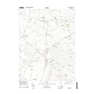
2014 Map of Woodsboro
USGS Topo · Published 2014About this map
Loys Station Covered Bridge stands as a prominent landmark in the north, where the landscape is defined by the winding course of the Monocacy River and its numerous tributaries like Owens Creek and Beaver Branch. This 2014 survey captures a rural Maryland landscape punctuated by a high density of ancestral burial grounds, including the Saint Peters Rocky Hill Cemetery and Mt Hope Cemetery. The road network connects established settlements like Woodsboro, Rocky Ridge, and Creagerstown, while smaller locales such as Wolfs Den and Haughs Hideway suggest a more intimate settlement pattern. The northern border follows the winding path of Big Pipe Creek and Double Pipe Creek, separating Frederick and Carroll counties. From the industrial site at Stull Quarry View to the timbered areas of Liberty Forest, the map illustrates a region where agriculture and local industry maintain a steady presence alongside historical family sites and local crossings like Millers Bridge.
Find a feature on this map
136 named features on this map. Tap any name to fly to it.
Don’t see what you’re looking for? This feature index may not catch every label — zoom into the map to look around manually.
Map Details
Editions of this 2014 Woodsboro Map
This is the sole edition of this map. No revisions or reprints were ever made.
Other maps of this area

1893 · Frederick
USGS Topo · 1:125,000

1894 · Frederick
USGS Topo · 1:125,000

1908 · Ijamsville
USGS Topo · 1:62,500

1909 · Mount Airy
USGS Topo · 1:62,500

1909 · Ijamsville
USGS Topo · 1:62,500

1911 · Taneytown
USGS Topo · 1:62,500

1911 · Emmitsburg
USGS Topo · 1:62,500

1942 · Frederick
USGS Topo · 1:62,500

1942 · Gettysburg
USGS Topo · 1:125,000

1943 · Emmitsburg
USGS Topo · 1:62,500